Federación night lights from space
Night Light of Federación (Entre Rios) from space (Argentina) Src. Average luminocity for 10x10km area is 19.6685% and for 50x50km: 2.06%.
Analysis of Federación night lights 2016
Square area 10x10 km:
 1.28%
1.28%90-99
3.66%80-89
3.85%70-79
2.38%60-69
3.66%50-59
3.11%40-49
1.28%30-39
2.93%20-29
0.92%10-19
12.64%0-9
64.29%Square area 50x50 km:
0.07%90-99
0.16%80-89
0.27%70-79
0.31%60-69
0.54%50-59
0.21%40-49
0.28%30-39
0.42%20-29
0.27%10-19
1.29%0-9
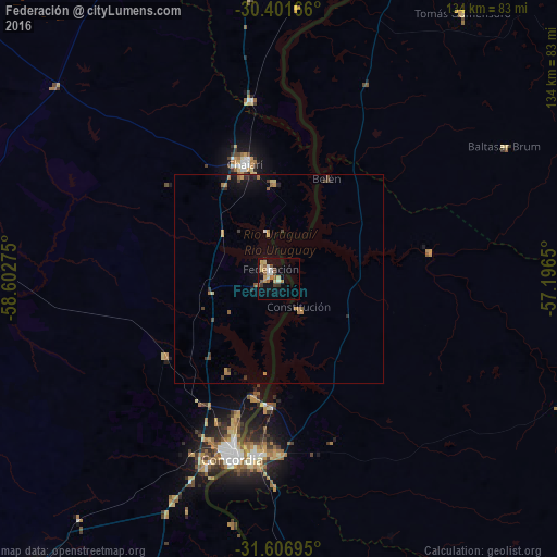
96.19%Clear (daylight) street map image can be seen on geolist.org.
Map coordinates:
30° 24' 6" South, 58° 36' 9.9" West
31° 0' 22.4" South, 57° 53' 58.6" West
31° 36' 25" South, 57° 11' 47.4" West
Some cities around Federación sort by population:
• Concordia
44.5 km =27.7 mi,  195°
195°
• Salto, UY
42.4 km =26.3 mi,  188°
188°
• Chajarí
29.4 km =18.3 mi,  344°
344°
• Monte Caseros
87.4 km =54.3 mi,  16°
16°
• Bella Unión, UY
87.8 km =54.6 mi, 19°
• San Salvador
89.7 km =55.7 mi,  219°
219°
• San José de Feliciano
106.8 km =66.4 mi,  310°
310°
• Mocoretá
43.5 km =27 mi,  351°
351°
3433959 (p: 13,789)
Sources (retrieved 2019-11-25):
» Earth at Night: Flat Maps 2012, 2016