La Paz night lights from space
Night Light of La Paz (Entre Rios) from space (Argentina) Src. Average luminocity for 10x10km area is 17.1171% and for 50x50km: 1.374%.
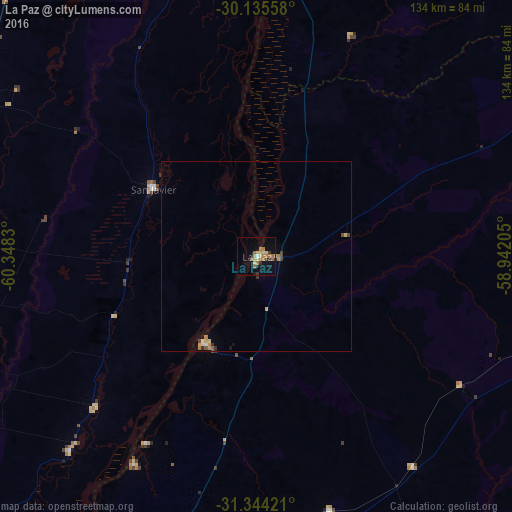
Analysis of La Paz night lights 2016
Square area 10x10 km:
 0.52%
0.52%90-99
0.52%80-89
3.5%70-79
2.62%60-69
7.69%50-59
1.4%40-49
0.17%30-39
2.8%20-29
1.75%10-19
7.52%0-9
71.5%Square area 50x50 km:
0.03%90-99
0.07%80-89
0.29%70-79
0.21%60-69
0.46%50-59
0.1%40-49
0.14%30-39
0.3%20-29
0.11%10-19
0.37%0-9
97.91%Clear (daylight) street map image can be seen on geolist.org.
Map coordinates:
30° 8' 8.1" South, 60° 20' 53.9" West
30° 44' 30.4" South, 59° 38' 42.6" West
31° 20' 39.2" South, 58° 56' 31.4" West
Some cities around La Paz sort by population:
• Esquina
81.6 km =50.7 mi,  7°
7°
• San Justo
90.6 km =56.3 mi,  266°
266°
• Santa Elena
26.3 km =16.3 mi,  211°
211°
• Federal
85.6 km =53.2 mi,  106°
106°
• San Javier
32.9 km =20.4 mi,  303°
303°
• San José de Feliciano
94.3 km =58.6 mi,  65°
65°
• Bovril
69.5 km =43.2 mi,  164°
164°
• Villa Hernandarias
63.3 km =39.3 mi, 210°
3432079 (p: 24,716)
Sources (retrieved 2019-11-25):
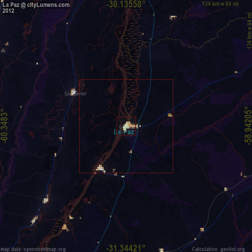
» Earth at Night: Flat Maps 2012, 2016