Monte Caseros night lights from space
Night Light of Monte Caseros (Corrientes) from space (Argentina) Src. Average luminocity for 10x10km area is 28.4563% and for 50x50km: 2.0001%.
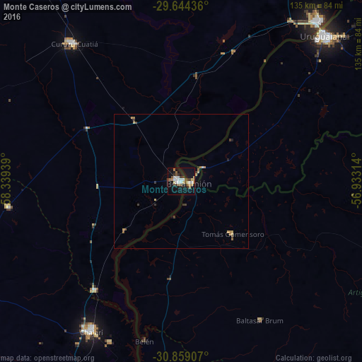
Analysis of Monte Caseros night lights 2016
Square area 10x10 km:
 5.42%
5.42%90-99
4.2%80-89
4.37%70-79
1.75%60-69
3.85%50-59
3.67%40-49
2.62%30-39
3.85%20-29
1.75%10-19
34.27%0-9
34.27%Square area 50x50 km:
0.24%90-99
0.19%80-89
0.36%70-79
0.21%60-69
0.32%50-59
0.21%40-49
0.23%30-39
0.37%20-29
0.13%10-19
1.58%0-9
96.16%Clear (daylight) street map image can be seen on geolist.org.
Map coordinates:
29° 38' 39.7" South, 58° 20' 21.8" West
30° 15' 12.9" South, 57° 38' 10.5" West
30° 51' 32.7" South, 56° 55' 59.3" West
Some cities around Monte Caseros sort by population:
• Uruguaiana, BR
76.6 km =47.6 mi,  43°
43°
• Paso de los Libres
80.1 km =49.8 mi, 41°
• Curuzú Cuatiá
65.3 km =40.6 mi,  321°
321°
• Chajarí
64.3 km =40 mi,  210°
210°
• Federación
87.4 km =54.3 mi,  196°
196°
• Bella Unión, UY
3.6 km =2.2 mi,  100°
100°
• San José de Feliciano
108 km =67.1 mi,  262°
262°
• Mocoretá
51.3 km =31.9 mi,  217°
217°
3430598 (p: 24,671)
Sources (retrieved 2019-11-25):
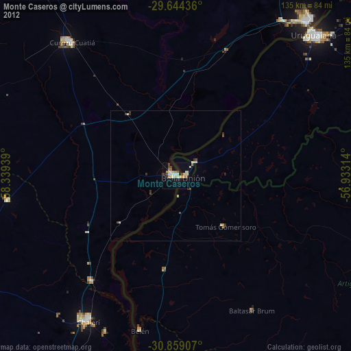
» Earth at Night: Flat Maps 2012, 2016