Rufino night lights from space
Night Light of Rufino (Santa Fe) from space (Argentina) Src. Average luminocity for 10x10km area is 19.9103% and for 50x50km: 0.9351%.
Analysis of Rufino night lights 2016
Square area 10x10 km:
 3.85%
3.85%90-99
5.31%80-89
0.37%70-79
4.4%60-69
0%50-59
1.47%40-49
0.73%30-39
3.66%20-29
0%10-19
13%0-9
67.22%Square area 50x50 km:
0.15%90-99
0.21%80-89
0.04%70-79
0.2%60-69
0.03%50-59
0.09%40-49
0.03%30-39
0.17%20-29
0%10-19
0.51%0-9
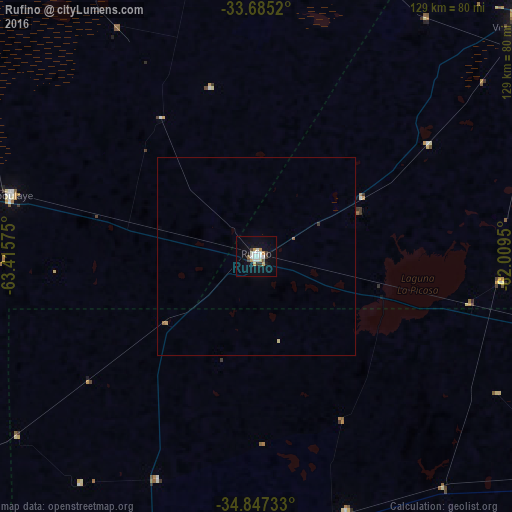
98.57%Clear (daylight) street map image can be seen on geolist.org.
Map coordinates:
33° 41' 6.7" South, 63° 24' 56.7" West
34° 16' 5.8" South, 62° 42' 45.4" West
34° 50' 50.4" South, 62° 0' 34.2" West
Some cities around Rufino sort by population:
• Venado Tuerto
89.9 km =55.9 mi,  49°
49°
• Laboulaye
64.4 km =40 mi,  284°
284°
• General Villegas
89.3 km =55.5 mi,  197°
197°
• La Carlota
108.7 km =67.5 mi,  330°
330°
• Villa Cañás
105.8 km =65.7 mi,  73°
73°
• Canals
79.8 km =49.6 mi,  348°
348°
• Arias
75.1 km =46.7 mi,  22°
22°
• General Levalle
115 km =71.5 mi, 284°
3838506 (p: 18,361)
Sources (retrieved 2019-11-25):
» Earth at Night: Flat Maps 2012, 2016