General Villegas night lights from space
Night Light of General Villegas (Buenos Aires) from space (Argentina) Src. Average luminocity for 10x10km area is 17.7465% and for 50x50km: 0.9833%.
Analysis of General Villegas night lights 2016
Square area 10x10 km:
 4.02%
4.02%90-99
3.15%80-89
1.92%70-79
1.22%60-69
2.8%50-59
1.57%40-49
0%30-39
2.1%20-29
1.4%10-19
6.82%0-9
75%Square area 50x50 km:
0.2%90-99
0.15%80-89
0.08%70-79
0.13%60-69
0.17%50-59
0.06%40-49
0.06%30-39
0.11%20-29
0.06%10-19
0.27%0-9
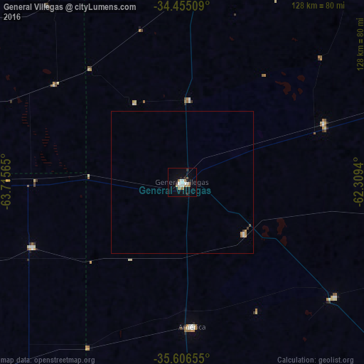
98.72%Clear (daylight) street map image can be seen on geolist.org.
Map coordinates:
34° 27' 18.3" South, 63° 42' 56.3" West
35° 1' 58.3" South, 63° 0' 45.1" West
35° 36' 23.6" South, 62° 18' 33.8" West
Some cities around General Villegas sort by population:
• Lincoln
136.4 km =84.8 mi,  82°
82°
• Laboulaye
106.6 km =66.2 mi,  341°
341°
• Rufino
89.3 km =55.5 mi,  17°
17°
• Eduardo Castex
152 km =94.4 mi,  229°
229°
• Huinca Renancó
126.1 km =78.4 mi,  279°
279°
• Realicó
112.2 km =69.7 mi,  269°
269°
• Intendente Alvear
57.2 km =35.5 mi,  247°
247°
• Villa Huidobro
145.1 km =90.2 mi, 278°
3855041 (p: 16,270)
Sources (retrieved 2019-11-25):
» Earth at Night: Flat Maps 2012, 2016