Ingeniero Guillermo N. Juárez night lights from space
Night Light of Ingeniero Guillermo N. Juárez (Formosa) from space (Argentina) Src. Average luminocity for 10x10km area is 14.121% and for 50x50km: 0.5784%.
Analysis of Ingeniero Guillermo N. Juárez night lights 2016
Square area 10x10 km:
 2.38%
2.38%90-99
1.59%80-89
2.38%70-79
0.2%60-69
4.37%50-59
1.39%40-49
1.19%30-39
1.59%20-29
0%10-19
0.99%0-9
83.93%Square area 50x50 km:
0.09%90-99
0.06%80-89
0.09%70-79
0.01%60-69
0.17%50-59
0.05%40-49
0.05%30-39
0.06%20-29
0%10-19
0.04%0-9
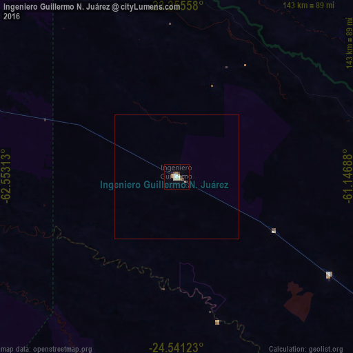
99.37%Clear (daylight) street map image can be seen on geolist.org.
Map coordinates:
23° 15' 20.1" South, 62° 33' 11.3" West
23° 54' 0" South, 61° 51' 0" West
24° 32' 28.4" South, 61° 8' 48.8" West
Some cities around Ingeniero Guillermo N. Juárez sort by population:
• Tartagal
251.9 km =156.5 mi,  307°
307°
• Embarcación
241.8 km =150.2 mi,  288°
288°
• General Enrique Mosconi
247.4 km =153.7 mi, 305°
• Las Lomitas
156 km =96.9 mi,  125°
125°
• Ibarreta
248.8 km =154.6 mi, 125°
• Apolinario Saravia
225.5 km =140.1 mi,  254°
254°
• Taco Pozo
238.4 km =148.1 mi,  216°
216°
• Palma Sola
249.4 km =155 mi,  268°
268°
3853788 (p: 10,357)
Sources (retrieved 2019-11-25):
» Earth at Night: Flat Maps 2012, 2016