Ibarreta night lights from space
Night Light of Ibarreta (Formosa) from space (Argentina) Src. Average luminocity for 10x10km area is 9.6012% and for 50x50km: 1.0273%.
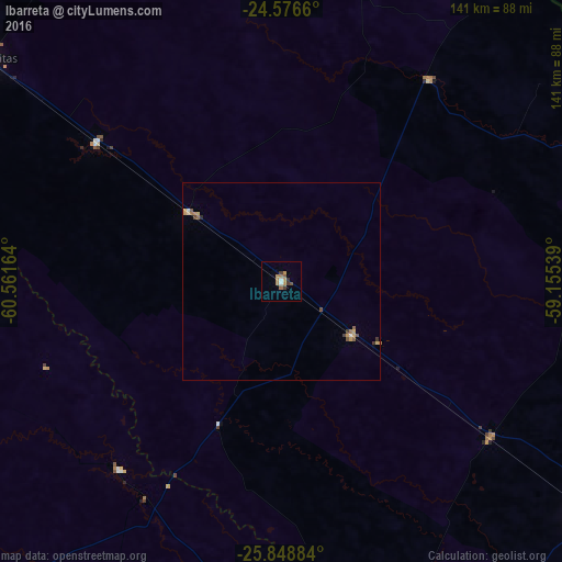
Analysis of Ibarreta night lights 2016
Square area 10x10 km:
 0.6%
0.6%90-99
0.99%80-89
0%70-79
2.38%60-69
3.77%50-59
1.19%40-49
0.79%30-39
2.98%20-29
0%10-19
0%0-9
87.3%Square area 50x50 km:
0.06%90-99
0.06%80-89
0.12%70-79
0.26%60-69
0.27%50-59
0.16%40-49
0.16%30-39
0.23%20-29
0.03%10-19
0%0-9
98.64%Clear (daylight) street map image can be seen on geolist.org.
Map coordinates:
24° 34' 35.8" South, 60° 33' 41.9" West
25° 12' 51.8" South, 59° 51' 30.6" West
25° 50' 55.8" South, 59° 9' 19.4" West
Some cities around Ibarreta sort by population:
• Castelli
111.6 km =69.3 mi,  223°
223°
• Tres Isletas
137.8 km =85.6 mi,  204°
204°
• Pirané
94.8 km =58.9 mi,  127°
127°
• El Colorado
131 km =81.4 mi,  158°
158°
• Pampa del Indio
93.2 km =57.9 mi,  184°
184°
• Las Lomitas
92.9 km =57.7 mi,  307°
307°
• Comandante Fontana
22.2 km =13.8 mi, 126°
• Palo Santo
65.1 km =40.5 mi, 126°
3433513 (p: 8,687)
Sources (retrieved 2019-11-25):
» Earth at Night: Flat Maps 2012, 2016