Apolinario Saravia night lights from space
Night Light of Apolinario Saravia (Salta) from space (Argentina) Src. Average luminocity for 10x10km area is 4.9484% and for 50x50km: 0.4164%.
Analysis of Apolinario Saravia night lights 2016
Square area 10x10 km:
 0.99%
0.99%90-99
1.39%80-89
0%70-79
0.79%60-69
0.99%50-59
0.6%40-49
0%30-39
0%20-29
0%10-19
0.79%0-9
94.44%Square area 50x50 km:
0.04%90-99
0.08%80-89
0.07%70-79
0.06%60-69
0.04%50-59
0.08%40-49
0.06%30-39
0.1%20-29
0.02%10-19
0.03%0-9
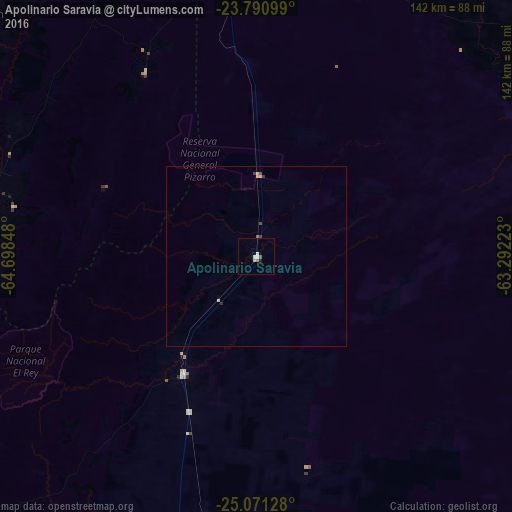
99.43%Clear (daylight) street map image can be seen on geolist.org.
Map coordinates:
23° 47' 27.6" South, 64° 41' 54.5" West
24° 25' 57.9" South, 63° 59' 43.3" West
25° 4' 16.6" South, 63° 17' 32" West
Some cities around Apolinario Saravia sort by population:
• San Pedro de Jujuy
91 km =56.5 mi,  284°
284°
• Joaquín V. González
76.9 km =47.8 mi,  189°
189°
• Fraile Pintado
98.2 km =61 mi,  303°
303°
• El Quebrachal
94.8 km =58.9 mi,  184°
184°
• Las Lajitas
38.4 km =23.9 mi,  211°
211°
• Caimancito
98 km =60.9 mi,  321°
321°
• Palma Sola
59.4 km =36.9 mi,  328°
328°
• Ingenio La Esperanza
88.5 km =55 mi,  285°
285°
3865605 (p: 8,595)
Sources (retrieved 2019-11-25):
» Earth at Night: Flat Maps 2012, 2016