Taco Pozo night lights from space
Night Light of Taco Pozo (Chaco) from space (Argentina) Src. Average luminocity for 10x10km area is 7.142% and for 50x50km: 0.3064%.
Analysis of Taco Pozo night lights 2016
Square area 10x10 km:
 0.95%
0.95%90-99
2.65%80-89
0.95%70-79
0%60-69
1.52%50-59
0%40-49
0%30-39
0.76%20-29
0.57%10-19
0.95%0-9
91.67%Square area 50x50 km:
0.04%90-99
0.11%80-89
0.04%70-79
0%60-69
0.06%50-59
0%40-49
0%30-39
0.04%20-29
0.05%10-19
0.04%0-9
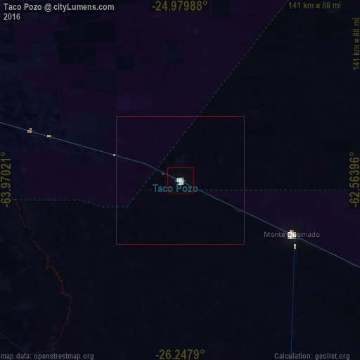
99.63%Clear (daylight) street map image can be seen on geolist.org.
Map coordinates:
24° 58' 47.6" South, 63° 58' 12.8" West
25° 36' 56.1" South, 63° 16' 1.5" West
26° 14' 52.4" South, 62° 33' 50.3" West
Some cities around Taco Pozo sort by population:
• Joaquín V. González
102.8 km =63.9 mi,  302°
302°
• El Quebrachal
88.4 km =54.9 mi,  294°
294°
• Las Lajitas
135.8 km =84.4 mi,  316°
316°
• Apolinario Saravia
150.6 km =93.6 mi,  330°
330°
• El Galpón
141.5 km =87.9 mi,  280°
280°
• Los Frentones
205.1 km =127.4 mi,  115°
115°
• Campo Gallo
115.4 km =71.7 mi,  158°
158°
• Palma Sola
210 km =130.5 mi, 330°
3834843 (p: 8,470)
Sources (retrieved 2019-11-25):
» Earth at Night: Flat Maps 2012, 2016