Las Lomitas night lights from space
Night Light of Las Lomitas (Formosa) from space (Argentina) Src. Average luminocity for 10x10km area is 19.2639% and for 50x50km: 0.8639%.
Analysis of Las Lomitas night lights 2016
Square area 10x10 km:
 3.17%
3.17%90-99
3.97%80-89
1.98%70-79
1.98%60-69
1.79%50-59
2.78%40-49
1.79%30-39
2.18%20-29
1.39%10-19
5.16%0-9
73.81%Square area 50x50 km:
0.12%90-99
0.16%80-89
0.1%70-79
0.09%60-69
0.07%50-59
0.11%40-49
0.07%30-39
0.09%20-29
0.12%10-19
0.23%0-9
98.85%Clear (daylight) street map image can be seen on geolist.org.
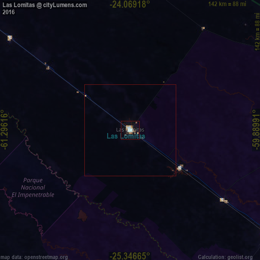
Map coordinates:
24° 4' 9" South, 61° 17' 46.2" West
24° 42' 34.4" South, 60° 35' 34.9" West
25° 20' 47.9" South, 59° 53' 23.7" West
Some cities around Las Lomitas sort by population:
• Castelli
137.6 km =85.5 mi,  181°
181°
• Tres Isletas
182.1 km =113.2 mi,  174°
174°
• Pirané
187.7 km =116.6 mi,  127°
127°
• Pampa del Indio
162.9 km =101.2 mi,  156°
156°
• Ingeniero Guillermo N. Juárez
156 km =96.9 mi,  305°
305°
• Ibarreta
92.9 km =57.7 mi, 127°
• Comandante Fontana
115.1 km =71.5 mi, 127°
• Palo Santo
158 km =98.2 mi, 126°
3848164 (p: 10,354)
Sources (retrieved 2019-11-25):
» Earth at Night: Flat Maps 2012, 2016