Adrogué night lights from space
Night Light of Adrogué (Buenos Aires) from space (Argentina) Src. Average luminocity for 10x10km area is 98.0458% and for 50x50km: 65.0042%.
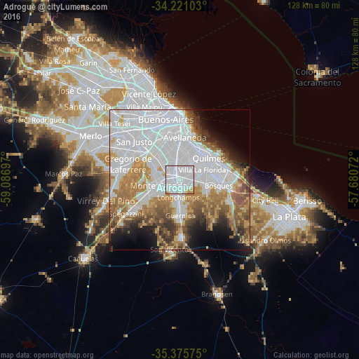
Analysis of Adrogué night lights 2016
Square area 10x10 km:
 72.71%
90-99
20.51%80-89
2.2%70-79
4.03%60-69
0.55%50-59
0%40-49
0%30-39
0%20-29
0%10-19
0%0-9
0%Square area 50x50 km:
30.9%90-99
10.92%80-89
4.2%70-79
6.46%60-69
8.93%50-59
7.02%40-49
4.66%30-39
4.14%20-29
3.41%10-19
5.9%0-9
13.45%Clear (daylight) street map image can be seen on geolist.org.
Map coordinates:
34° 13' 15.7" South, 59° 5' 13.1" West
34° 48' 1.5" South, 58° 23' 1.8" West
35° 22' 32.7" South, 57° 40' 50.6" West
Some cities around Adrogué sort by population:
• Buenos Aires
20.8 km =12.9 mi,  1°
1°
• Quilmes
13.5 km =8.4 mi,  54°
54°
• Berazategui
16.1 km =10 mi,  75°
75°
• Balvanera
21.2 km =13.2 mi,  356°
356°
• Villa Lugano
15.7 km =9.8 mi,  328°
328°
• Barracas
16.8 km =10.4 mi, 0°
• Boedo
18.8 km =11.7 mi,  350°
350°
• Villa Santa Rita
22.9 km =14.2 mi,  337°
337°
10172104 (p: 28,265)
Sources (retrieved 2019-11-25):
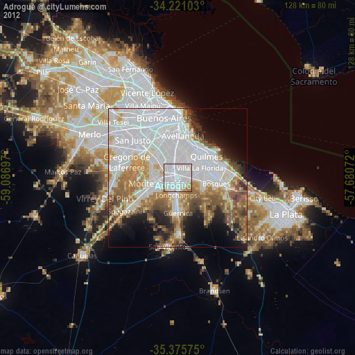
» Earth at Night: Flat Maps 2012, 2016