La Plata night lights from space
Night Light of La Plata (Buenos Aires) from space (Argentina) Src. Average luminocity for 10x10km area is 96.8846% and for 50x50km: 26.5081%.
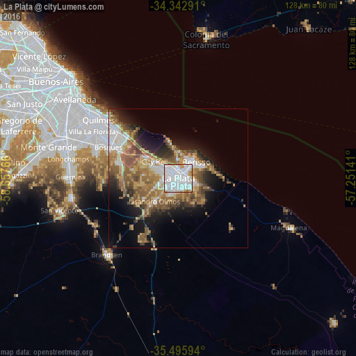

Analysis of La Plata night lights 2016
Square area 10x10 km:
 60.81%
90-99
29.3%80-89
1.1%70-79
6.59%60-69
2.2%50-59
0%40-49
0%30-39
0%20-29
0%10-19
0%0-9
0%Square area 50x50 km:
4.99%90-99
4.03%80-89
3.31%70-79
3.62%60-69
5.13%50-59
6.12%40-49
3.45%30-39
3.25%20-29
3.93%10-19
8.3%0-9
53.87%Clear (daylight) street map image can be seen on geolist.org.
Map coordinates:
34° 20' 34.5" South, 58° 39' 27.6" West
34° 55' 17.2" South, 57° 57' 16.3" West
35° 29' 45.4" South, 57° 15' 5.1" West
Some cities around La Plata sort by population:
• Buenos Aires
51.6 km =32.1 mi,  311°
311°
• Quilmes
35.4 km =22 mi, 307°
• Berazategui
29.3 km =18.2 mi, 306°
• Balvanera
53.2 km =33.1 mi, 310°
• Barracas
49.5 km =30.8 mi, 307°
• Boedo
53 km =32.9 mi, 307°
• Adrogué
41.4 km =25.7 mi,  288°
288°
• Colonia del Sacramento, UY
52.1 km =32.4 mi,  11°
11°
3432043 (p: 694,167)
Sources (retrieved 2019-11-25):
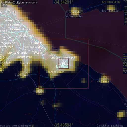
» NASA, Earths city lights 1995
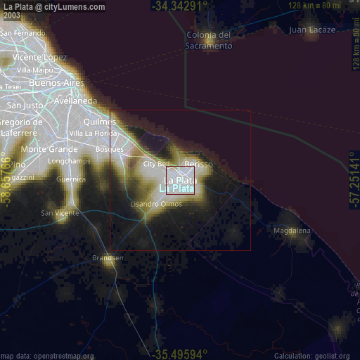
» NASA city lights 2003
» Earth at Night: Flat Maps 2012, 2016