Veinticinco de Mayo night lights from space
Night Light of Veinticinco de Mayo (Buenos Aires) from space (Argentina) Src. Average luminocity for 10x10km area is 14.2179% and for 50x50km: 0.6058%.
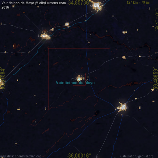
Analysis of Veinticinco de Mayo night lights 2016
Square area 10x10 km:
 0%
0%90-99
1.47%80-89
2.93%70-79
1.1%60-69
2.01%50-59
6.41%40-49
0.73%30-39
2.56%20-29
1.83%10-19
0.92%0-9
80.04%Square area 50x50 km:
0%90-99
0.06%80-89
0.11%70-79
0.04%60-69
0.08%50-59
0.25%40-49
0.03%30-39
0.16%20-29
0.1%10-19
0.04%0-9
99.14%Clear (daylight) street map image can be seen on geolist.org.
Map coordinates:
34° 51' 26.5" South, 60° 52' 33" West
35° 25' 56.3" South, 60° 10' 21.8" West
36° 0' 11.4" South, 59° 28' 10.5" West
Some cities around Veinticinco de Mayo sort by population:
• Junín
117.6 km =73.1 mi,  323°
323°
• Luján
136.5 km =84.8 mi,  45°
45°
• Chivilcoy
61.3 km =38.1 mi,  13°
13°
• Azul
152.2 km =94.6 mi,  169°
169°
• Mercedes
110 km =68.4 mi,  37°
37°
• Lincoln
138.5 km =86.1 mi,  297°
297°
• Nueve de Julio
64.4 km =40 mi,  268°
268°
• Chacabuco
92.1 km =57.2 mi,  342°
342°
3833112 (p: 24,668)
Sources (retrieved 2019-11-25):
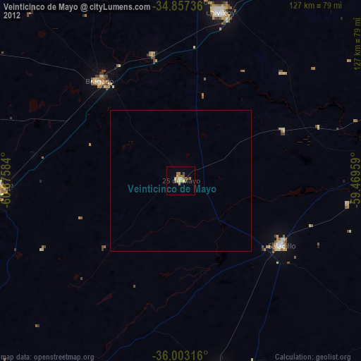
» Earth at Night: Flat Maps 2012, 2016