Menongue night lights from space
Night Light of Menongue (Cuando Cobango) from space (Angola) Src. Average luminocity for 10x10km area is 30.8853% and for 50x50km: 1.5095%.
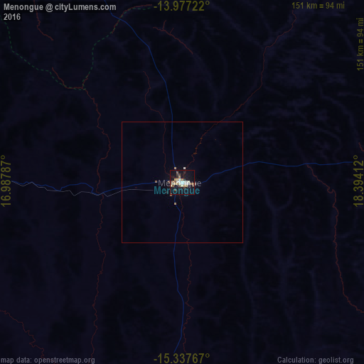

Analysis of Menongue night lights 2016
Square area 10x10 km:
 3.68%
3.68%90-99
8.01%80-89
5.63%70-79
1.73%60-69
1.3%50-59
4.76%40-49
4.76%30-39
2.16%20-29
3.46%10-19
36.15%0-9
28.35%Square area 50x50 km:
0.14%90-99
0.34%80-89
0.21%70-79
0.07%60-69
0.11%50-59
0.25%40-49
0.24%30-39
0.08%20-29
0.16%10-19
1.43%0-9
96.97%Clear (daylight) street map image can be seen on geolist.org.
Map coordinates:
13° 58' 38" South, 16° 59' 16.3" East
14° 39' 30.6" South, 17° 41' 27.6" East
15° 20' 15.6" South, 18° 23' 38.8" East
Some cities around Menongue sort by population:
• Huambo
297.1 km =184.6 mi,  314°
314°
• Cuito
265.9 km =165.2 mi,  342°
342°
• Longonjo
327.5 km =203.5 mi, 306°
• Caála
305.4 km =189.8 mi, 311°
• Camacupa
294.6 km =183.1 mi,  355°
355°
• Catabola
282.4 km =175.5 mi,  351°
351°
• Caconda
301 km =187 mi,  289°
289°
• Chissamba
279.8 km =173.9 mi, 352°
3347353 (p: 32,203)
Sources (retrieved 2019-11-25):
» Earth at Night: Flat Maps 2012, 2016