Tagāb night lights from space
Night Light of Tagāb (Kapisa) from space (Afghanistan) Src. Average luminocity for 10x10km area is 0% and for 50x50km: 0.0474%.
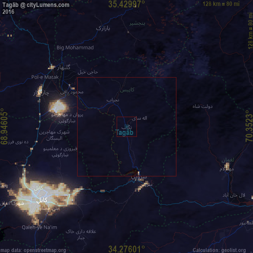
Analysis of Tagāb night lights 2016
Square area 10x10 km:
 0%
0%90-99
0%80-89
0%70-79
0%60-69
0%50-59
0%40-49
0%30-39
0%20-29
0%10-19
0%0-9
100%Square area 50x50 km:
0%90-99
0%80-89
0.03%70-79
0%60-69
0%50-59
0%40-49
0.03%30-39
0%20-29
0%10-19
0%0-9
99.94%Clear (daylight) street map image can be seen on geolist.org.
Map coordinates:
35° 25' 47.9" North, 68° 56' 45.8" East
34° 51' 18" North, 69° 38' 57" East
34° 16' 33.6" North, 70° 21' 8.3" East
Some cities around Tagāb sort by population:
• Kabul
56.8 km =35.3 mi,  230°
230°
• Bāzārak
52.4 km =32.6 mi,  346°
346°
• Charikar
47 km =29.2 mi,  292°
292°
• Paghmān
70.4 km =43.7 mi,  245°
245°
• Mehtar Lām
55.1 km =34.2 mi,  111°
111°
• Jabal os Saraj
47.6 km =29.6 mi,  307°
307°
• Sidqābād
33 km =20.5 mi,  304°
304°
• Mīr Bachah Kōṯ
49.8 km =30.9 mi,  256°
256°
1123424 (p: 6,400)
Sources (retrieved 2019-11-25):
» Earth at Night: Flat Maps 2012, 2016