Jabal os Saraj night lights from space
Night Light of Jabal os Saraj (Parwan) from space (Afghanistan) Src. Average luminocity for 10x10km area is 4.2535% and for 50x50km: 3.1753%.
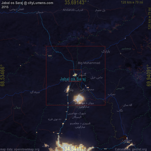
Analysis of Jabal os Saraj night lights 2016
Square area 10x10 km:
 0%
0%90-99
0%80-89
0.7%70-79
0.87%60-69
0.87%50-59
1.4%40-49
1.05%30-39
1.4%20-29
0%10-19
0%0-9
93.71%Square area 50x50 km:
0.43%90-99
0.33%80-89
0.39%70-79
0.5%60-69
0.25%50-59
0.62%40-49
0.55%30-39
0.5%20-29
0.63%10-19
2.26%0-9
93.55%Clear (daylight) street map image can be seen on geolist.org.
Map coordinates:
35° 41' 29.1" North, 68° 32' 4.8" East
35° 7' 6" North, 69° 14' 16" East
34° 32' 28.2" North, 69° 56' 27.3" East
Some cities around Jabal os Saraj sort by population:
• Kabul
65.9 km =40.9 mi,  185°
185°
• Bāzārak
33.2 km =20.6 mi,  49°
49°
• Charikar
13.1 km =8.1 mi,  207°
207°
• Paghmān
64.5 km =40.1 mi,  203°
203°
• Sidqābād
14.8 km =9.2 mi,  135°
135°
• Tagāb
47.6 km =29.6 mi,  127°
127°
• Mīr Bachah Kōṯ
42.4 km =26.3 mi, 194°
• Maydanshakhr
87.2 km =54.2 mi, 202°
1139807 (p: 15,032)
Sources (retrieved 2019-11-25):
» Earth at Night: Flat Maps 2012, 2016