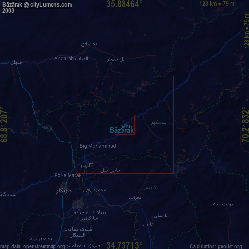
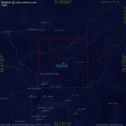
Bāzārak night lights from space
Night Light of Bāzārak (Panjshir) from space (Afghanistan) Src. Average luminocity for 10x10km area is 0% and for 50x50km: 0.0624%.
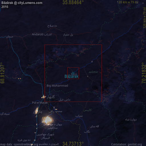
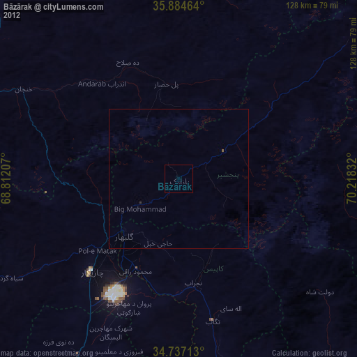
Analysis of Bāzārak night lights 2016
Square area 10x10 km:
 0%
0%90-99
0%80-89
0%70-79
0%60-69
0%50-59
0%40-49
0%30-39
0%20-29
0%10-19
0%0-9
100%Square area 50x50 km:
0%90-99
0%80-89
0%70-79
0%60-69
0.01%50-59
0.01%40-49
0.03%30-39
0.03%20-29
0.03%10-19
0%0-9
99.89%Clear (daylight) street map image can be seen on geolist.org.
Map coordinates:
35° 53' 4.7" North, 68° 48' 43.5" East
35° 18' 46.5" North, 69° 30' 54.7" East
34° 44' 13.7" North, 70° 13' 6" East
Some cities around Bāzārak sort by population:
• Kabul
92.7 km =57.6 mi,  199°
199°
• Charikar
45.7 km =28.4 mi,  223°
223°
• Nahrīn
90.4 km =56.2 mi,  337°
337°
• Mehtar Lām
95.3 km =59.2 mi,  138°
138°
• Jabal os Saraj
33.2 km =20.6 mi,  229°
229°
• Sidqābād
35.5 km =22.1 mi, 204°
• Tagāb
52.4 km =32.6 mi,  166°
166°
• Mīr Bachah Kōṯ
72.2 km =44.9 mi,  209°
209°
1429434 (p: 65,000)
Sources (retrieved 2019-11-25):
» NASA, Earths city lights 1995
» NASA city lights 2003
» Earth at Night: Flat Maps 2012, 2016