Kabul night lights from space
Night Light of Kabul from space (Afghanistan) Src. Average luminocity for 10x10km area is 94.8374% and for 50x50km: 17.0162%.
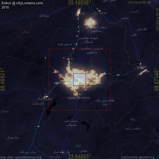
Analysis of Kabul night lights 2016
Square area 10x10 km:
 48.78%
90-99
33.74%80-89
8.39%70-79
3.15%60-69
3.32%50-59
1.92%40-49
0.7%30-39
0%20-29
0%10-19
0%0-9
0%Square area 50x50 km:
2.97%90-99
3.02%80-89
4.57%70-79
1.56%60-69
1.73%50-59
1.82%40-49
2.02%30-39
1.99%20-29
3.63%10-19
6.66%0-9
70.03%Clear (daylight) street map image can be seen on geolist.org.
Map coordinates:
35° 6' 19.4" North, 68° 28' 9.2" East
34° 31' 41.3" North, 69° 10' 20.4" East
33° 56' 48.7" North, 69° 52' 31.7" East
Some cities around Kabul sort by population:
• Charikar
54 km =33.6 mi,  359°
359°
• Paghmān
21.3 km =13.2 mi,  288°
288°
• Pul-e ‘Alam
60.8 km =37.8 mi,  193°
193°
• Ḩukūmatī Azrah
58.7 km =36.5 mi,  132°
132°
• Sidqābād
57.4 km =35.7 mi,  16°
16°
• Tagāb
56.8 km =35.3 mi,  50°
50°
• Mīr Bachah Kōṯ
25.1 km =15.6 mi,  348°
348°
• Maydanshakhr
31.7 km =19.7 mi,  242°
242°
1138958 (p: 3,043,532)
Sources (retrieved 2019-11-25):
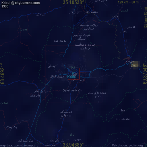
» NASA, Earths city lights 1995
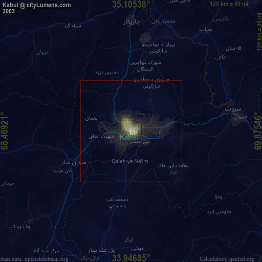
» NASA city lights 2003
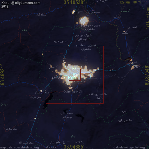
» Earth at Night: Flat Maps 2012, 2016