Pul-e ‘Alam night lights from space
Night Light of Pul-e ‘Alam (Logar) from space (Afghanistan) Src. Average luminocity for 10x10km area is 0.3094% and for 50x50km: 0.0536%.
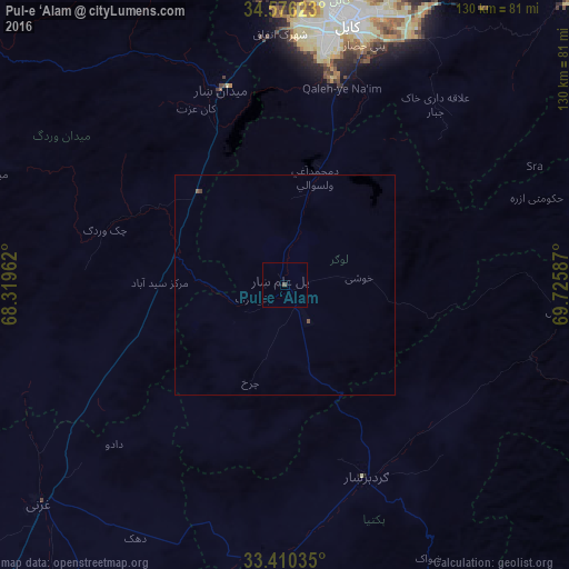
Analysis of Pul-e ‘Alam night lights 2016
Square area 10x10 km:
 0%
0%90-99
0%80-89
0%70-79
0%60-69
0%50-59
0%40-49
0.7%30-39
0%20-29
0%10-19
0%0-9
99.3%Square area 50x50 km:
0%90-99
0%80-89
0%70-79
0%60-69
0%50-59
0.03%40-49
0.07%30-39
0.01%20-29
0%10-19
0%0-9
99.89%Clear (daylight) street map image can be seen on geolist.org.
Map coordinates:
34° 34' 34.4" North, 68° 19' 10.6" East
33° 59' 43" North, 69° 1' 21.9" East
33° 24' 37.3" North, 69° 43' 33.1" East
Some cities around Pul-e ‘Alam sort by population:
• Kabul
60.8 km =37.8 mi,  13°
13°
• Ghazni
74.2 km =46.1 mi,  228°
228°
• Gardez
48.1 km =29.9 mi,  157°
157°
• Paghmān
66.2 km =41.1 mi,  354°
354°
• Baraki Barak
7.5 km =4.7 mi,  245°
245°
• Ḩukūmatī Azrah
60.7 km =37.7 mi,  70°
70°
• Mīr Bachah Kōṯ
84.4 km =52.4 mi, 6°
• Maydanshakhr
46.8 km =29.1 mi,  342°
342°
1130497 (p: 13,247)
Sources (retrieved 2019-11-25):
» Earth at Night: Flat Maps 2012, 2016