Ghazni night lights from space
Night Light of Ghazni from space (Afghanistan) Src. Average luminocity for 10x10km area is 0.3223% and for 50x50km: 0.0127%.
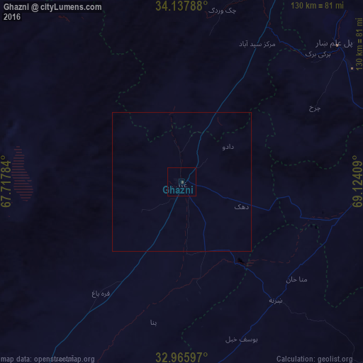
Analysis of Ghazni night lights 2016
Square area 10x10 km:
 0%
0%90-99
0%80-89
0%70-79
0%60-69
0%50-59
0%40-49
0.55%30-39
0.18%20-29
0%10-19
0%0-9
99.27%Square area 50x50 km:
0%90-99
0%80-89
0%70-79
0%60-69
0%50-59
0%40-49
0.02%30-39
0.01%20-29
0%10-19
0%0-9
99.97%Clear (daylight) street map image can be seen on geolist.org.
Map coordinates:
34° 8' 16.4" North, 67° 43' 4.2" East
33° 33' 14.1" North, 68° 25' 15.5" East
32° 57' 57.5" North, 69° 7' 26.7" East
Some cities around Ghazni sort by population:
• Gardez
74.7 km =46.4 mi,  86°
86°
• Paghmān
124.9 km =77.6 mi,  23°
23°
• Baraki Barak
67.1 km =41.7 mi,  46°
46°
• Zarghūn Shahr
78.6 km =48.8 mi,  178°
178°
• Pul-e ‘Alam
74.2 km =46.1 mi, 48°
• Zaṟah Sharan
56.9 km =35.4 mi,  142°
142°
• Sharan
50.9 km =31.6 mi,  145°
145°
• Maydanshakhr
102.2 km =63.5 mi, 23°
1141269 (p: 141,000)
Sources (retrieved 2019-11-25):
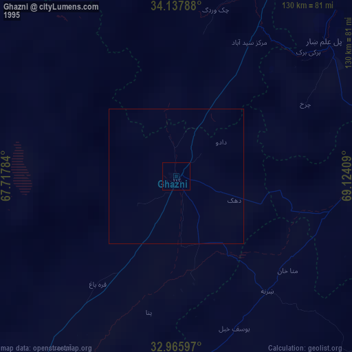
» NASA, Earths city lights 1995
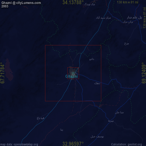
» NASA city lights 2003
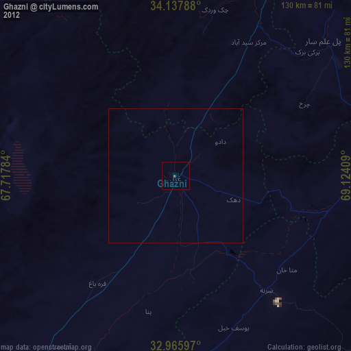
» Earth at Night: Flat Maps 2012, 2016