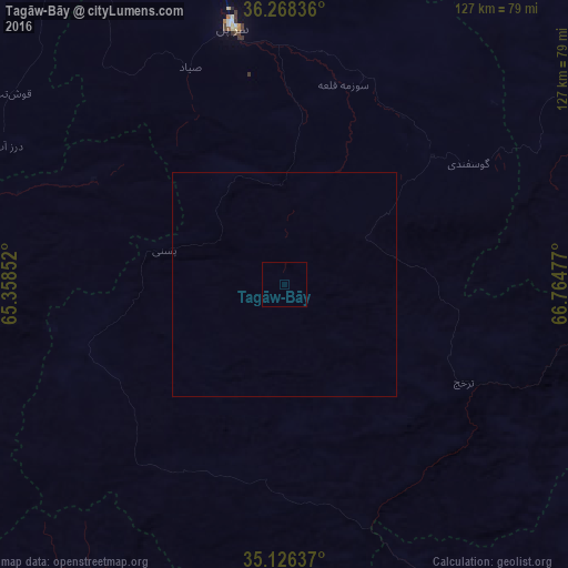
Tagāw-Bāy night lights from space
Night Light of Tagāw-Bāy (Sar-e Pol) from space (Afghanistan) Src. Average luminocity for 10x10km area is 0% and for 50x50km: 0%.
Analysis of Tagāw-Bāy night lights 2016
Square area 10x10 km:
 0%
0%90-99
0%80-89
0%70-79
0%60-69
0%50-59
0%40-49
0%30-39
0%20-29
0%10-19
0%0-9
100%Square area 50x50 km:
0%90-99
0%80-89
0%70-79
0%60-69
0%50-59
0%40-49
0%30-39
0%20-29
0%10-19
0%0-9
100%Clear (daylight) street map image can be seen on geolist.org.
Map coordinates:
36° 16' 6.1" North, 65° 21' 30.7" East
35° 41' 57.9" North, 66° 3' 41.9" East
35° 7' 34.9" North, 66° 45' 53.2" East
Some cities around Tagāw-Bāy sort by population:
• Shibirghān
111.2 km =69.1 mi,  345°
345°
• Sar-e Pul
58.5 km =36.4 mi, 348°
• Sang-e Chārak
37.8 km =23.5 mi,  63°
63°
• Chīras
32.2 km =20 mi,  192°
192°
• Tukzār
42.6 km =26.5 mi,  49°
49°
• Larkird
59.3 km =36.8 mi,  113°
113°
• Darzāb
68.9 km =42.8 mi,  296°
296°
• Qal‘ah-ye Shahr
47.7 km =29.6 mi,  249°
249°
1123343 (p: 9,096)
Sources (retrieved 2019-11-25):
» Earth at Night: Flat Maps 2012, 2016