Qal‘ah-ye Shahr night lights from space
Night Light of Qal‘ah-ye Shahr (Sar-e Pol) from space (Afghanistan) Src. Average luminocity for 10x10km area is 0% and for 50x50km: 0%.
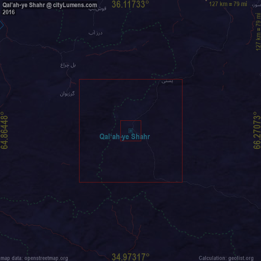
Analysis of Qal‘ah-ye Shahr night lights 2016
Square area 10x10 km:
 0%
0%90-99
0%80-89
0%70-79
0%60-69
0%50-59
0%40-49
0%30-39
0%20-29
0%10-19
0%0-9
100%Square area 50x50 km:
0%90-99
0%80-89
0%70-79
0%60-69
0%50-59
0%40-49
0%30-39
0%20-29
0%10-19
0%0-9
100%Clear (daylight) street map image can be seen on geolist.org.
Map coordinates:
36° 7' 2.4" North, 64° 51' 52.1" East
35° 32' 50.2" North, 65° 34' 3.4" East
34° 58' 23.4" North, 66° 16' 14.6" East
Some cities around Qal‘ah-ye Shahr sort by population:
• Maymana
82.1 km =51 mi,  300°
300°
• Sar-e Pul
81.2 km =50.5 mi,  23°
23°
• Sang-e Chārak
85.4 km =53.1 mi,  66°
66°
• Chīras
40.3 km =25 mi,  111°
111°
• Tukzār
89 km =55.3 mi,  59°
59°
• Larkird
99.4 km =61.8 mi,  93°
93°
• Darzāb
50.8 km =31.6 mi,  340°
340°
• Tagāw-Bāy
47.7 km =29.6 mi, 69°
1130065 (p: 7,756)
Sources (retrieved 2019-11-25):
» Earth at Night: Flat Maps 2012, 2016