Markaz-e Ḩukūmat-e Darwēshān night lights from space
Night Light of Markaz-e Ḩukūmat-e Darwēshān (Helmand) from space (Afghanistan) Src. Average luminocity for 10x10km area is 0% and for 50x50km: 0.1015%.
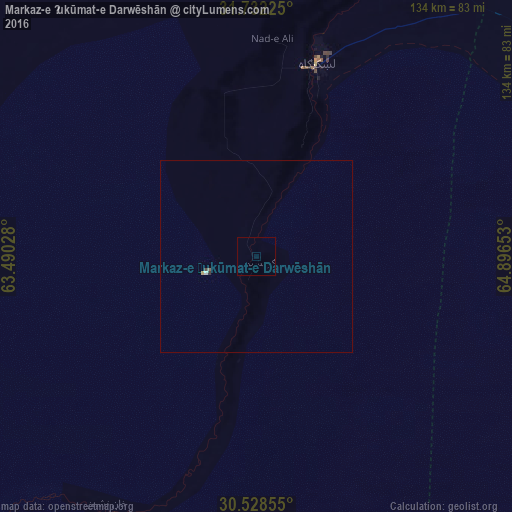
Analysis of Markaz-e Ḩukūmat-e Darwēshān night lights 2016
Square area 10x10 km:
 0%
0%90-99
0%80-89
0%70-79
0%60-69
0%50-59
0%40-49
0%30-39
0%20-29
0%10-19
0%0-9
100%Square area 50x50 km:
0.01%90-99
0.01%80-89
0.02%70-79
0.01%60-69
0%50-59
0.03%40-49
0.01%30-39
0.04%20-29
0%10-19
0%0-9
99.85%Clear (daylight) street map image can be seen on geolist.org.
Map coordinates:
31° 43' 56.1" North, 63° 29' 25" East
31° 7' 56.3" North, 64° 11' 36.2" East
30° 31' 42.8" North, 64° 53' 47.5" East
Some cities around Markaz-e Ḩukūmat-e Darwēshān sort by population:
• Kandahār
153.6 km =95.4 mi,  69°
69°
• Chaman, PK
216.6 km =134.6 mi,  96°
96°
• Lashkar Gāh
54 km =33.6 mi,  18°
18°
• Gereshk
84.5 km =52.5 mi,  25°
25°
• Khāsh
140.4 km =87.2 mi,  288°
288°
• Sangīn
121 km =75.2 mi, 30°
• Rūdbār
187.5 km =116.5 mi,  234°
234°
• ‘Alāqahdārī Dīshū
115.7 km =71.9 mi, 227°
1143901 (p: 9,012)
Sources (retrieved 2019-11-25):
» Earth at Night: Flat Maps 2012, 2016