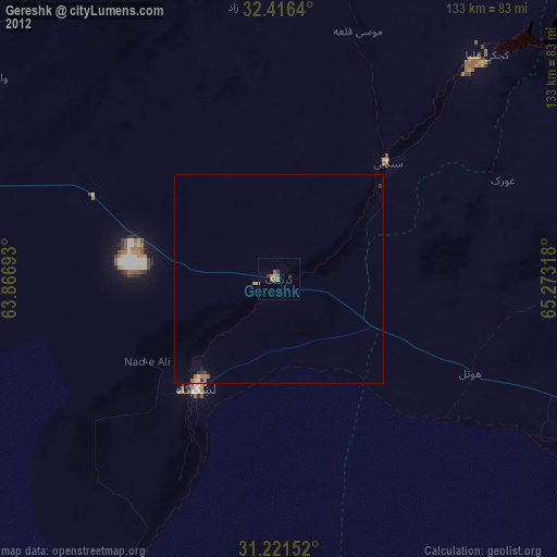
Gereshk night lights from space
Night Light of Gereshk (Helmand) from space (Afghanistan) Src. Average luminocity for 10x10km area is 2.9924% and for 50x50km: 0.2416%.
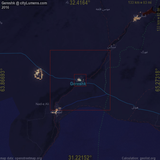
Analysis of Gereshk night lights 2016
Square area 10x10 km:
 0%
0%90-99
0%80-89
0%70-79
0%60-69
1.14%50-59
1.52%40-49
1.71%30-39
0.95%20-29
0.38%10-19
0.38%0-9
93.9%Square area 50x50 km:
0%90-99
0%80-89
0%70-79
0.01%60-69
0.09%50-59
0.08%40-49
0.08%30-39
0.15%20-29
0.04%10-19
0.07%0-9
99.48%Clear (daylight) street map image can be seen on geolist.org.
Map coordinates:
32° 24' 59" North, 63° 52' 0.9" East
31° 49' 15.2" North, 64° 34' 12.2" East
31° 13' 17.5" North, 65° 16' 23.4" East
Some cities around Gereshk sort by population:
• Kandahār
110.3 km =68.5 mi,  102°
102°
• Chaman, PK
205 km =127.4 mi,  119°
119°
• Lashkar Gāh
31.5 km =19.6 mi,  216°
216°
• Khāsh
171.5 km =106.6 mi,  259°
259°
• Sangīn
37.6 km =23.4 mi,  41°
41°
• Tarinkot
152.4 km =94.7 mi,  53°
53°
• ‘Alāqahdārī Dīshū
196.2 km =121.9 mi, 218°
• Markaz-e Ḩukūmat-e Darwēshān
84.5 km =52.5 mi,  205°
205°
1141540 (p: 43,588)
Sources (retrieved 2019-11-25):
» Earth at Night: Flat Maps 2012, 2016