Sangīn night lights from space
Night Light of Sangīn (Helmand) from space (Afghanistan) Src. Average luminocity for 10x10km area is 0.1958% and for 50x50km: 0.3642%.
Analysis of Sangīn night lights 2016
Square area 10x10 km:
 0%
0%90-99
0%80-89
0%70-79
0%60-69
0%50-59
0%40-49
0%30-39
0%20-29
0.7%10-19
0%0-9
99.3%Square area 50x50 km:
0%90-99
0%80-89
0%70-79
0.03%60-69
0.13%50-59
0.15%40-49
0.11%30-39
0.12%20-29
0.08%10-19
0.13%0-9
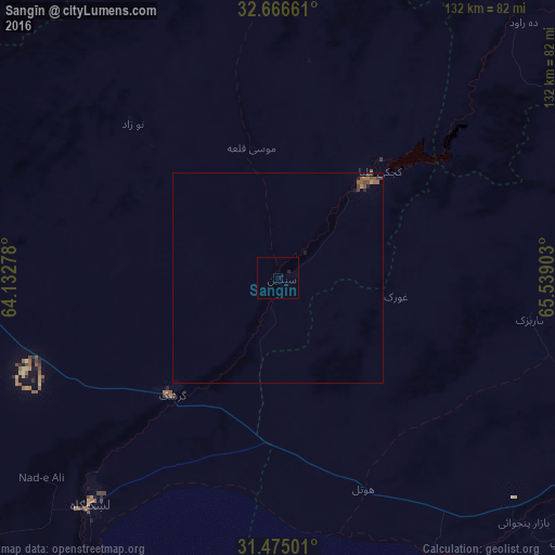
99.25%Clear (daylight) street map image can be seen on geolist.org.
Map coordinates:
32° 39' 59.8" North, 64° 7' 58" East
32° 4' 21.9" North, 64° 50' 9.2" East
31° 28' 30" North, 65° 32' 20.5" East
Some cities around Sangīn sort by population:
• Kandahār
97.1 km =60.3 mi,  121°
121°
• Chaman, PK
200 km =124.3 mi,  129°
129°
• Lashkar Gāh
69 km =42.9 mi,  219°
219°
• Gereshk
37.6 km =23.4 mi, 221°
• Uruzgān
193.4 km =120.2 mi,  60°
60°
• Qalāt
195.3 km =121.4 mi,  88°
88°
• Tarinkot
115.9 km =72 mi, 57°
• Markaz-e Ḩukūmat-e Darwēshān
121 km =75.2 mi,  210°
210°
1127547 (p: 13,579)
Sources (retrieved 2019-11-25):
» Earth at Night: Flat Maps 2012, 2016