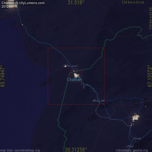
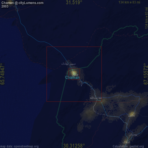
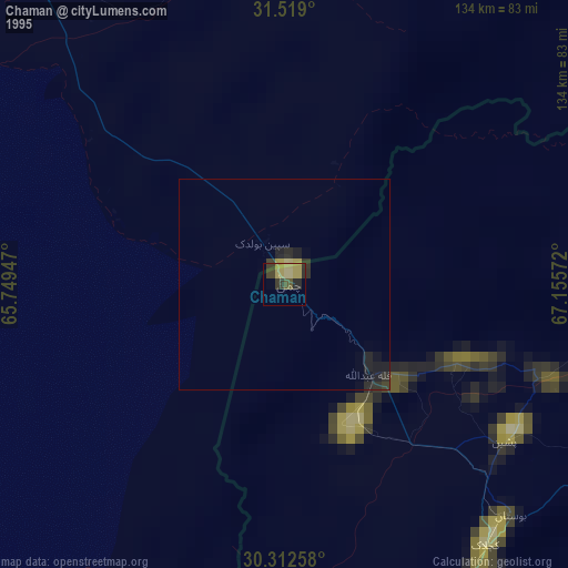
Chaman night lights from space
Night Light of Chaman (Balochistan) from space (Pakistan) Src. Average luminocity for 10x10km area is 0.2133% and for 50x50km: 0.0151%.
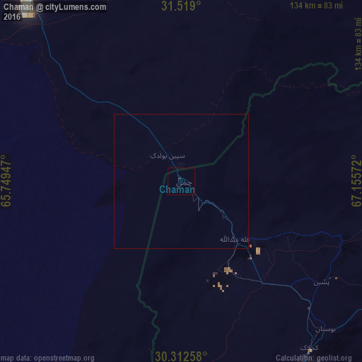
Analysis of Chaman night lights 2016
Square area 10x10 km:
 0%
0%90-99
0%80-89
0%70-79
0%60-69
0%50-59
0%40-49
0%30-39
0%20-29
0.7%10-19
0%0-9
99.3%Square area 50x50 km:
0%90-99
0%80-89
0%70-79
0%60-69
0%50-59
0%40-49
0%30-39
0%20-29
0.03%10-19
0.03%0-9
99.94%Clear (daylight) street map image can be seen on geolist.org.
Map coordinates:
31° 31' 8.4" North, 65° 44' 58.1" East
30° 55' 3.7" North, 66° 27' 9.3" East
30° 18' 45.3" North, 67° 9' 20.6" East
Some cities around Chaman sort by population:
• Quetta
97 km =60.3 mi,  147°
147°
• Kandahār, AF
104.7 km =65.1 mi,  317°
317°
• Kot Malik Barkhurdar
94.5 km =58.7 mi, 147°
• Mastung
129.9 km =80.7 mi,  163°
163°
• Pishin
63.8 km =39.6 mi,  125°
125°
• Qalāt, AF
139 km =86.4 mi,  18°
18°
• Alik Ghund
112.7 km =70 mi,  114°
114°
• Khadan Khak
121.6 km =75.6 mi,  98°
98°
1181611 (p: 88,568)
Sources (retrieved 2019-11-25):
» NASA, Earths city lights 1995
» NASA city lights 2003
» Earth at Night: Flat Maps 2012, 2016