Bāmyān night lights from space
Night Light of Bāmyān (Bamyan) from space (Afghanistan) Src. Average luminocity for 10x10km area is 0.9835% and for 50x50km: 0.0464%.
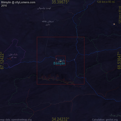

Analysis of Bāmyān night lights 2016
Square area 10x10 km:
 0%
0%90-99
0%80-89
0%70-79
0%60-69
0%50-59
0%40-49
0.73%30-39
1.47%20-29
0%10-19
0%0-9
97.8%Square area 50x50 km:
0%90-99
0%80-89
0%70-79
0%60-69
0%50-59
0%40-49
0.03%30-39
0.06%20-29
0.03%10-19
0%0-9
99.89%Clear (daylight) street map image can be seen on geolist.org.
Map coordinates:
35° 23' 48.3" North, 67° 7' 27.2" East
34° 49' 17.6" North, 67° 49' 38.4" East
34° 14' 32.4" North, 68° 31' 49.7" East
Some cities around Bāmyān sort by population:
• Kabul
127.2 km =79 mi,  104°
104°
• Charikar
124.4 km =77.3 mi,  80°
80°
• Paghmān
105.9 km =65.8 mi, 104°
• Jabal os Saraj
132.7 km =82.5 mi, 75°
• Panjāb
88 km =54.7 mi,  236°
236°
• Larkird
129.2 km =80.3 mi,  305°
305°
• Mīr Bachah Kōṯ
118.2 km =73.4 mi,  93°
93°
• Maydanshakhr
106.2 km =66 mi,  116°
116°
1147242 (p: 61,863)
Sources (retrieved 2019-11-25):
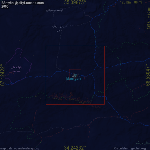
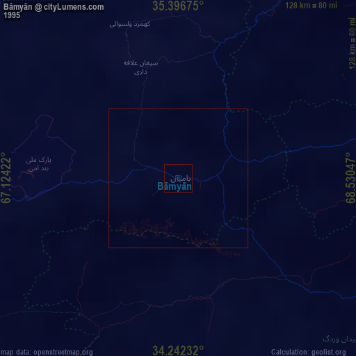
» NASA, Earths city lights 1995
» NASA city lights 2003
» Earth at Night: Flat Maps 2012, 2016