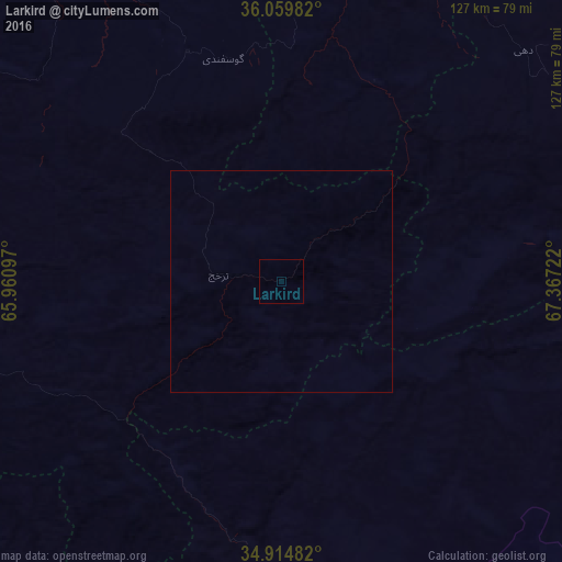
Larkird night lights from space
Night Light of Larkird (Sar-e Pol) from space (Afghanistan) Src. Average luminocity for 10x10km area is 0% and for 50x50km: 0%.
Analysis of Larkird night lights 2016
Square area 10x10 km:
 0%
0%90-99
0%80-89
0%70-79
0%60-69
0%50-59
0%40-49
0%30-39
0%20-29
0%10-19
0%0-9
100%Square area 50x50 km:
0%90-99
0%80-89
0%70-79
0%60-69
0%50-59
0%40-49
0%30-39
0%20-29
0%10-19
0%0-9
100%Clear (daylight) street map image can be seen on geolist.org.
Map coordinates:
36° 3' 35.4" North, 65° 57' 39.5" East
35° 29' 21.7" North, 66° 39' 50.7" East
34° 54' 53.4" North, 67° 22' 2" East
Some cities around Larkird sort by population:
• Sar-e Pul
104.2 km =64.7 mi,  320°
320°
• Sang-e Chārak
45 km =28 mi,  332°
332°
• Panjāb
126.8 km =78.8 mi,  165°
165°
• Chīras
62.3 km =38.7 mi,  262°
262°
• Tukzār
55.5 km =34.5 mi,  336°
336°
• Darzāb
128.1 km =79.6 mi,  295°
295°
• Tagāw-Bāy
59.3 km =36.8 mi,  293°
293°
• Qal‘ah-ye Shahr
99.4 km =61.8 mi,  273°
273°
1134762 (p: 11,635)
Sources (retrieved 2019-11-25):
» Earth at Night: Flat Maps 2012, 2016