Panjāb night lights from space
Night Light of Panjāb (Bamyan) from space (Afghanistan) Src. Average luminocity for 10x10km area is 0% and for 50x50km: 0%.
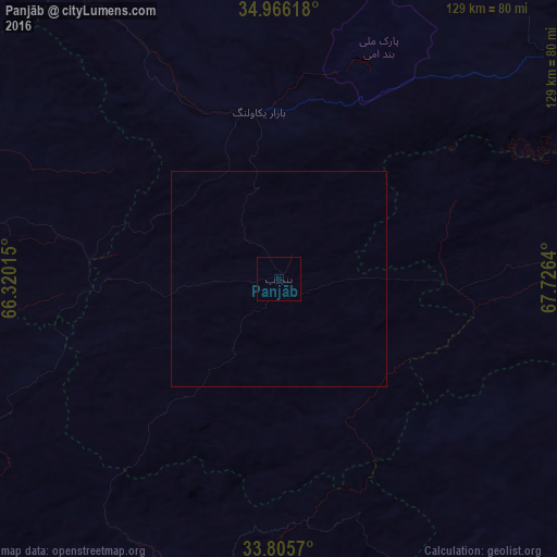
Analysis of Panjāb night lights 2016
Square area 10x10 km:
 0%
0%90-99
0%80-89
0%70-79
0%60-69
0%50-59
0%40-49
0%30-39
0%20-29
0%10-19
0%0-9
100%Square area 50x50 km:
0%90-99
0%80-89
0%70-79
0%60-69
0%50-59
0%40-49
0%30-39
0%20-29
0%10-19
0%0-9
100%Clear (daylight) street map image can be seen on geolist.org.
Map coordinates:
34° 57' 58.2" North, 66° 19' 12.5" East
34° 23' 16.6" North, 67° 1' 23.8" East
33° 48' 20.5" North, 67° 43' 35" East
Some cities around Panjāb sort by population:
• Ghazni
158.8 km =98.7 mi,  125°
125°
• Bāmyān
88 km =54.7 mi,  56°
56°
• Fayrōz Kōh
163.2 km =101.4 mi,  275°
275°
• Uruzgān
166.3 km =103.3 mi,  192°
192°
• Chīras
148.6 km =92.3 mi,  320°
320°
• Larkird
126.8 km =78.8 mi,  345°
345°
• Maydanshakhr
169.1 km =105.1 mi,  89°
89°
• Nīlī
110.7 km =68.8 mi,  228°
228°
1131162 (p: 13,471)
Sources (retrieved 2019-11-25):
» Earth at Night: Flat Maps 2012, 2016