Katima Mulilo night lights from space
Night Light of Katima Mulilo (Zambezi) from space (Namibia) Src. Average luminocity for 10x10km area is 27.2169% and for 50x50km: 1.2763%.
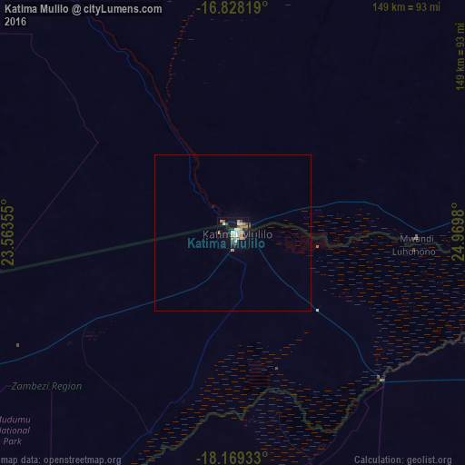
Analysis of Katima Mulilo night lights 2016
Square area 10x10 km:
 2.27%
2.27%90-99
5.79%80-89
4.34%70-79
3.93%60-69
3.93%50-59
3.1%40-49
2.89%30-39
3.1%20-29
2.69%10-19
25.41%0-9
42.56%Square area 50x50 km:
0.09%90-99
0.23%80-89
0.17%70-79
0.17%60-69
0.17%50-59
0.13%40-49
0.17%30-39
0.12%20-29
0.11%10-19
1.1%0-9
97.55%Clear (daylight) street map image can be seen on geolist.org.
Map coordinates:
16° 49' 41.5" South, 23° 33' 48.8" East
17° 30' 0" South, 24° 16' 0" East
18° 10' 9.6" South, 24° 58' 11.3" East
Some cities around Katima Mulilo sort by population:
• Livingstone, ZM
172.4 km =107.1 mi,  102°
102°
• Mongu, ZM
278.3 km =172.9 mi,  334°
334°
• Victoria Falls, ZW
172.5 km =107.2 mi,  106°
106°
• Hwange, ZW
254.9 km =158.4 mi, 112°
• Sesheke, ZM
4.2 km =2.6 mi,  50°
50°
• Senanga, ZM
187 km =116.2 mi, 325°
• Kasane, BW
100.4 km =62.4 mi, 109°
• Shakawe, BW
273.9 km =170.2 mi,  249°
249°
877178 (p: 25,027)
Sources (retrieved 2019-11-25):
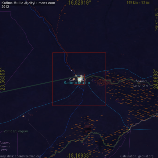
» Earth at Night: Flat Maps 2012, 2016