Mount Darwin night lights from space
Night Light of Mount Darwin (Mashonaland Central) from space (Zimbabwe) Src. Average luminocity for 10x10km area is 2.4935% and for 50x50km: 0.1303%.
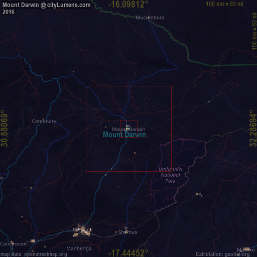
Analysis of Mount Darwin night lights 2016
Square area 10x10 km:
 0%
0%90-99
0%80-89
0%70-79
0%60-69
0%50-59
1.73%40-49
0.87%30-39
1.73%20-29
0.87%10-19
0.87%0-9
93.94%Square area 50x50 km:
0%90-99
0%80-89
0%70-79
0%60-69
0%50-59
0.07%40-49
0.07%30-39
0.1%20-29
0.05%10-19
0.05%0-9
99.67%Clear (daylight) street map image can be seen on geolist.org.
Map coordinates:
16° 5' 53.2" South, 30° 52' 50.5" East
16° 46' 21" South, 31° 35' 1.7" East
17° 26' 40.3" South, 32° 17' 13" East
Some cities around Mount Darwin sort by population:
• Bindura
64.7 km =40.2 mi,  204°
204°
• Ruwa
129.3 km =80.3 mi, 196°
• Shamva
59.9 km =37.2 mi,  180°
180°
• Mazowe
104 km =64.6 mi,  218°
218°
• Glendale
84.9 km =52.8 mi, 220°
• Mutoko
97.4 km =60.5 mi,  135°
135°
• Murehwa
99.1 km =61.6 mi,  167°
167°
• Mvurwi
83.3 km =51.8 mi,  249°
249°
885800 (p: 6,349)
Sources (retrieved 2019-11-25):
» Earth at Night: Flat Maps 2012, 2016