Karoi night lights from space
Night Light of Karoi (Mashonaland West) from space (Zimbabwe) Src. Average luminocity for 10x10km area is 6.0563% and for 50x50km: 0.2379%.

Analysis of Karoi night lights 2016
Square area 10x10 km:
 0%
0%90-99
0%80-89
0%70-79
0%60-69
0.87%50-59
2.81%40-49
4.33%30-39
3.03%20-29
1.08%10-19
0%0-9
87.88%Square area 50x50 km:
0%90-99
0%80-89
0%70-79
0%60-69
0.03%50-59
0.11%40-49
0.17%30-39
0.12%20-29
0.04%10-19
0%0-9
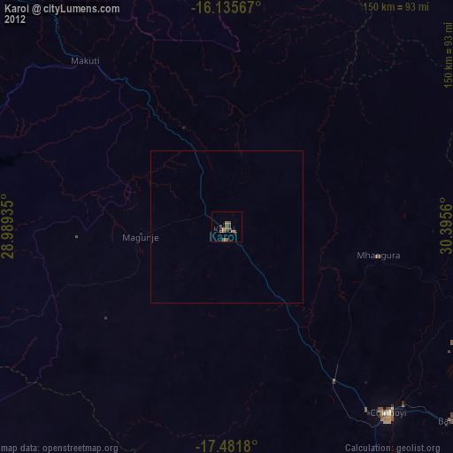
99.53%Clear (daylight) street map image can be seen on geolist.org.
Map coordinates:
16° 8' 8.4" South, 28° 59' 21.7" East
16° 48' 35.7" South, 29° 41' 32.9" East
17° 28' 54.5" South, 30° 23' 44.2" East
Some cities around Karoi sort by population:
• Chinhoyi
82.1 km =51 mi,  138°
138°
• Chegutu
154.3 km =95.9 mi,  162°
162°
• Kariba
100.5 km =62.4 mi,  288°
288°
• Siavonga, ZM
109 km =67.7 mi, 286°
• Banket
98.6 km =61.3 mi,  130°
130°
• Mvurwi
125.6 km =78 mi,  101°
101°
• Mhangura
51.5 km =32 mi, 100°
• Chakari
140.9 km =87.6 mi,  171°
171°
889191 (p: 25,030)
Sources (retrieved 2019-11-25):
» Earth at Night: Flat Maps 2012, 2016