Kafue night lights from space
Night Light of Kafue (Lusaka) from space (Zambia) Src. Average luminocity for 10x10km area is 33.4199% and for 50x50km: 2.854%.
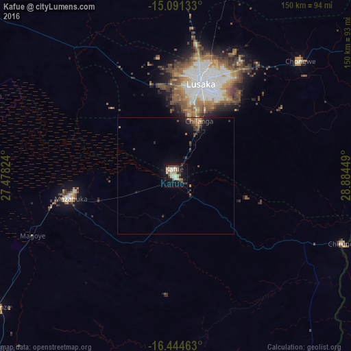
Analysis of Kafue night lights 2016
Square area 10x10 km:
 3.46%
3.46%90-99
9.09%80-89
4.76%70-79
1.73%60-69
5.19%50-59
3.46%40-49
5.63%30-39
3.46%20-29
4.98%10-19
31.82%0-9
26.41%Square area 50x50 km:
0.13%90-99
0.35%80-89
0.22%70-79
0.33%60-69
0.43%50-59
0.43%40-49
0.69%30-39
0.57%20-29
0.49%10-19
2.88%0-9
93.47%Clear (daylight) street map image can be seen on geolist.org.
Map coordinates:
15° 5' 28.8" South, 27° 28' 41.7" East
15° 46' 8.8" South, 28° 10' 52.9" East
16° 26' 40.7" South, 28° 53' 4.2" East
Some cities around Kafue sort by population:
• Lusaka
41.9 km =26 mi,  15°
15°
• Mazabuka
47.4 km =29.5 mi,  258°
258°
• Monze
94 km =58.4 mi,  232°
232°
• Kariba, ZW
106.2 km =66 mi,  141°
141°
• Mumbwa
148.5 km =92.3 mi,  306°
306°
• Siavonga
102.4 km =63.6 mi,  146°
146°
• Nakambala
43.5 km =27 mi, 260°
• Chongwe
72.6 km =45.1 mi,  47°
47°
915883 (p: 47,554)
Sources (retrieved 2019-11-25):
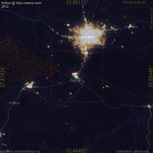
» Earth at Night: Flat Maps 2012, 2016