Zambezi night lights from space
Night Light of Zambezi (North-Western) from space (Zambia) Src. Average luminocity for 10x10km area is 0% and for 50x50km: 0%.
Analysis of Zambezi night lights 2016
Square area 10x10 km:
 0%
0%90-99
0%80-89
0%70-79
0%60-69
0%50-59
0%40-49
0%30-39
0%20-29
0%10-19
0%0-9
100%Square area 50x50 km:
0%90-99
0%80-89
0%70-79
0%60-69
0%50-59
0%40-49
0%30-39
0%20-29
0%10-19
0%0-9
100%Clear (daylight) street map image can be seen on geolist.org.
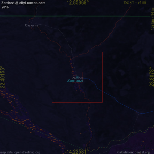
Map coordinates:
12° 51' 31.3" South, 22° 24' 5.6" East
13° 32' 35.6" South, 23° 6' 16.8" East
14° 13' 32.9" South, 23° 48' 28.1" East
Some cities around Zambezi sort by population:
• Mongu
189.6 km =117.8 mi,  179°
179°
• Kaoma
228.9 km =142.2 mi,  127°
127°
• Mwinilunga
247.1 km =153.5 mi,  35°
35°
• Kalabo
167.6 km =104.1 mi,  195°
195°
• Kalengwa
205.4 km =127.6 mi,  87°
87°
• Limulunga
172.8 km =107.4 mi, 178°
• Kabompo
118.6 km =73.7 mi, 92°
• Mufumbwe
183.9 km =114.3 mi, 94°
895953 (p: 7,074)
Sources (retrieved 2019-11-25):
» Earth at Night: Flat Maps 2012, 2016