Mongu night lights from space
Night Light of Mongu (Western) from space (Zambia) Src. Average luminocity for 10x10km area is 28.8967% and for 50x50km: 1.6073%.
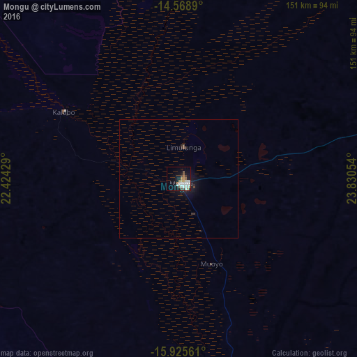
Analysis of Mongu night lights 2016
Square area 10x10 km:
 7.85%
7.85%90-99
8.06%80-89
0.83%70-79
2.27%60-69
3.93%50-59
3.51%40-49
1.65%30-39
1.65%20-29
1.03%10-19
21.07%0-9
48.14%Square area 50x50 km:
0.34%90-99
0.35%80-89
0.03%70-79
0.09%60-69
0.17%50-59
0.17%40-49
0.13%30-39
0.15%20-29
0.26%10-19
1.7%0-9
96.6%Clear (daylight) street map image can be seen on geolist.org.
Map coordinates:
14° 34' 8" South, 22° 25' 27.4" East
15° 14' 54.1" South, 23° 7' 38.7" East
15° 55' 32.2" South, 23° 49' 49.9" East
Some cities around Mongu sort by population:
• Sesheke
277.3 km =172.3 mi,  153°
153°
• Kaoma
186.9 km =116.1 mi,  73°
73°
• Senanga
97.7 km =60.7 mi,  171°
171°
• Kalabo
55.9 km =34.7 mi,  300°
300°
• Limulunga
16.9 km =10.5 mi,  3°
3°
• Zambezi
189.6 km =117.8 mi,  359°
359°
• Kabompo
217.4 km =135.1 mi,  32°
32°
• Mufumbwe
250.4 km =155.6 mi,  45°
45°
906054 (p: 52,534)
Sources (retrieved 2019-11-25):
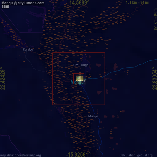
» NASA, Earths city lights 1995
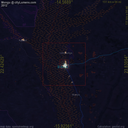
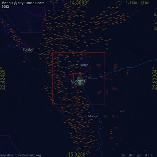
» NASA city lights 2003
» Earth at Night: Flat Maps 2012, 2016