Limulunga night lights from space
Night Light of Limulunga (Western) from space (Zambia) Src. Average luminocity for 10x10km area is 1.5413% and for 50x50km: 1.5496%.
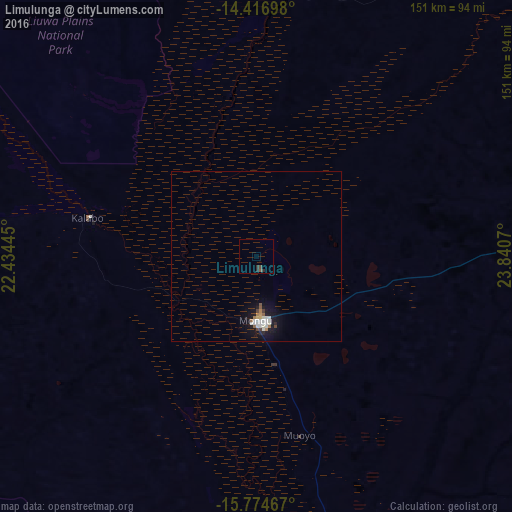
Analysis of Limulunga night lights 2016
Square area 10x10 km:
 0%
0%90-99
0%80-89
0%70-79
0%60-69
0%50-59
0.83%40-49
0.83%30-39
0.41%20-29
2.07%10-19
0%0-9
95.87%Square area 50x50 km:
0.34%90-99
0.35%80-89
0.03%70-79
0.09%60-69
0.17%50-59
0.17%40-49
0.13%30-39
0.08%20-29
0.22%10-19
1.7%0-9
96.7%Clear (daylight) street map image can be seen on geolist.org.
Map coordinates:
14° 25' 1.1" South, 22° 26' 4" East
15° 5' 48.9" South, 23° 8' 15.3" East
15° 46' 28.8" South, 23° 50' 26.5" East
Some cities around Limulunga sort by population:
• Mongu
16.9 km =10.5 mi,  183°
183°
• Kaoma
182 km =113.1 mi,  78°
78°
• Senanga
114.2 km =71 mi,  173°
173°
• Kalabo
50.5 km =31.4 mi,  283°
283°
• Kalengwa
270.7 km =168.2 mi,  47°
47°
• Zambezi
172.8 km =107.4 mi,  358°
358°
• Kabompo
202.7 km =126 mi,  34°
34°
• Mufumbwe
238.2 km =148 mi, 48°
910361 (p: 7,461)
Sources (retrieved 2019-11-25):
» Earth at Night: Flat Maps 2012, 2016