Kalabo night lights from space
Night Light of Kalabo (Western) from space (Zambia) Src. Average luminocity for 10x10km area is 1.8574% and for 50x50km: 0.0743%.
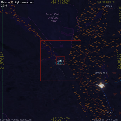
Analysis of Kalabo night lights 2016
Square area 10x10 km:
 0%
0%90-99
0.83%80-89
0%70-79
0%60-69
0%50-59
0.83%40-49
0.83%30-39
0%20-29
0%10-19
0.83%0-9
96.69%Square area 50x50 km:
0%90-99
0.03%80-89
0%70-79
0%60-69
0%50-59
0.03%40-49
0.03%30-39
0%20-29
0%10-19
0.03%0-9
99.87%Clear (daylight) street map image can be seen on geolist.org.
Map coordinates:
14° 18' 46.2" South, 21° 58' 34.1" East
14° 59' 35.1" South, 22° 40' 45.3" East
15° 40' 16.2" South, 23° 22' 56.6" East
Some cities around Kalabo sort by population:
• Mongu
55.9 km =34.7 mi,  120°
120°
• Kaoma
229.1 km =142.4 mi,  84°
84°
• Senanga
139.9 km =86.9 mi,  153°
153°
• Kalengwa
302.6 km =188 mi,  55°
55°
• Limulunga
50.5 km =31.4 mi,  103°
103°
• Zambezi
167.6 km =104.1 mi,  15°
15°
• Kabompo
226.1 km =140.5 mi,  46°
46°
• Mufumbwe
270.9 km =168.3 mi, 57°
915471 (p: 7,731)
Sources (retrieved 2019-11-25):
» Earth at Night: Flat Maps 2012, 2016