Mufumbwe night lights from space
Night Light of Mufumbwe (North-Western) from space (Zambia) Src. Average luminocity for 10x10km area is 0% and for 50x50km: 0%.
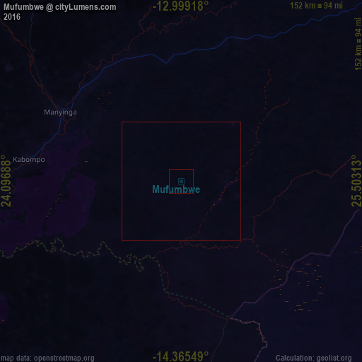
Analysis of Mufumbwe night lights 2016
Square area 10x10 km:
 0%
0%90-99
0%80-89
0%70-79
0%60-69
0%50-59
0%40-49
0%30-39
0%20-29
0%10-19
0%0-9
100%Square area 50x50 km:
0%90-99
0%80-89
0%70-79
0%60-69
0%50-59
0%40-49
0%30-39
0%20-29
0%10-19
0%0-9
100%Clear (daylight) street map image can be seen on geolist.org.
Map coordinates:
12° 59' 57" South, 24° 5' 48.8" East
13° 40' 60" South, 24° 48' 0" East
14° 21' 55.8" South, 25° 30' 11.3" East
Some cities around Mufumbwe sort by population:
• Kaoma
122.3 km =76 mi,  180°
180°
• Mwinilunga
220.2 km =136.8 mi,  349°
349°
• Kalengwa
32.6 km =20.3 mi,  42°
42°
• Limulunga
238.2 km =148 mi,  228°
228°
• Zambezi
183.9 km =114.3 mi,  274°
274°
• Kabompo
65.5 km =40.7 mi,  278°
278°
• Kasempa
114.5 km =71.1 mi,  77°
77°
• Solwezi
240.9 km =149.7 mi,  45°
45°
905382 (p: 6,155)
Sources (retrieved 2019-11-25):
» Earth at Night: Flat Maps 2012, 2016