Kabompo night lights from space
Night Light of Kabompo (North-Western) from space (Zambia) Src. Average luminocity for 10x10km area is 0% and for 50x50km: 0%.
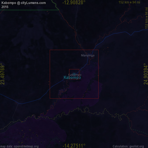
Analysis of Kabompo night lights 2016
Square area 10x10 km:
 0%
0%90-99
0%80-89
0%70-79
0%60-69
0%50-59
0%40-49
0%30-39
0%20-29
0%10-19
0%0-9
100%Square area 50x50 km:
0%90-99
0%80-89
0%70-79
0%60-69
0%50-59
0%40-49
0%30-39
0%20-29
0%10-19
0%0-9
100%Clear (daylight) street map image can be seen on geolist.org.
Map coordinates:
12° 54' 29.8" South, 23° 29' 51.7" East
13° 35' 33.6" South, 24° 12' 2.9" East
14° 16' 30.4" South, 24° 54' 14.2" East
Some cities around Kabompo sort by population:
• Mongu
217.4 km =135.1 mi,  212°
212°
• Kaoma
147.3 km =91.5 mi,  153°
153°
• Mwinilunga
207.9 km =129.2 mi,  6°
6°
• Kalengwa
87.8 km =54.6 mi,  80°
80°
• Limulunga
202.7 km =126 mi, 214°
• Zambezi
118.6 km =73.7 mi,  272°
272°
• Mufumbwe
65.5 km =40.7 mi,  98°
98°
• Kasempa
177.2 km =110.1 mi,  85°
85°
916246 (p: 6,592)
Sources (retrieved 2019-11-25):
» Earth at Night: Flat Maps 2012, 2016