Mumbwa night lights from space
Night Light of Mumbwa (Central) from space (Zambia) Src. Average luminocity for 10x10km area is 12.7955% and for 50x50km: 0.6224%.
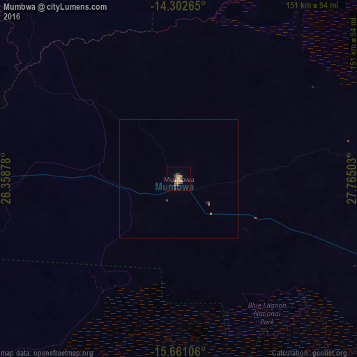
Analysis of Mumbwa night lights 2016
Square area 10x10 km:
 0%
0%90-99
0%80-89
1.86%70-79
5.17%60-69
2.27%50-59
1.24%40-49
3.51%30-39
2.48%20-29
2.48%10-19
0%0-9
80.99%Square area 50x50 km:
0%90-99
0%80-89
0.07%70-79
0.21%60-69
0.13%50-59
0.08%40-49
0.2%30-39
0.1%20-29
0.13%10-19
0%0-9
99.07%Clear (daylight) street map image can be seen on geolist.org.
Map coordinates:
14° 18' 9.5" South, 26° 21' 31.6" East
14° 58' 58.5" South, 27° 3' 42.8" East
15° 39' 39.8" South, 27° 45' 54.1" East
Some cities around Mumbwa sort by population:
• Lusaka
139.7 km =86.8 mi,  109°
109°
• Kabwe
160.4 km =99.7 mi,  68°
68°
• Mazabuka
121.8 km =75.7 mi,  142°
142°
• Kafue
148.5 km =92.3 mi,  126°
126°
• Monze
151.5 km =94.1 mi,  162°
162°
• Nakambala
121.8 km =75.7 mi, 140°
• Mpongwe
201.8 km =125.4 mi,  35°
35°
• Chongwe
178.1 km =110.7 mi,  102°
102°
904422 (p: 19,086)
Sources (retrieved 2019-11-25):
» Earth at Night: Flat Maps 2012, 2016