Kabwe night lights from space
Night Light of Kabwe (Central) from space (Zambia) Src. Average luminocity for 10x10km area is 63.2576% and for 50x50km: 3.8883%.
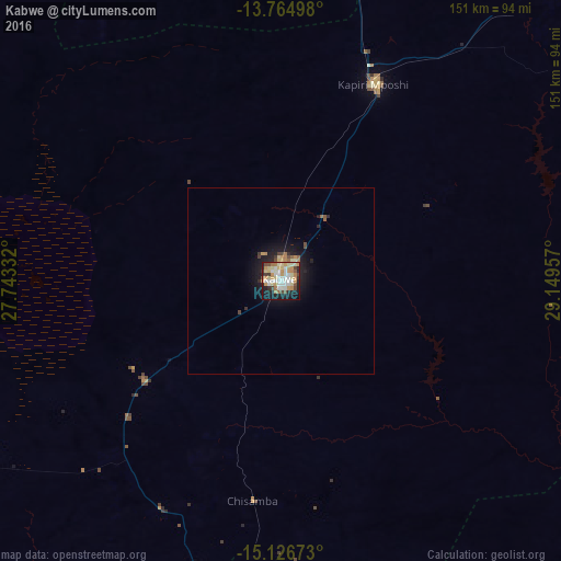
Analysis of Kabwe night lights 2016
Square area 10x10 km:
 10.39%
90-99
16.88%80-89
13.85%70-79
14.5%60-69
5.63%50-59
3.03%40-49
6.28%30-39
3.25%20-29
10.17%10-19
16.02%0-9
0%Square area 50x50 km:
0.4%90-99
0.65%80-89
0.68%70-79
0.73%60-69
0.4%50-59
0.3%40-49
0.48%30-39
0.3%20-29
0.98%10-19
3.35%0-9
91.73%Clear (daylight) street map image can be seen on geolist.org.
Map coordinates:
13° 45' 53.9" South, 27° 44' 36" East
14° 26' 48.8" South, 28° 26' 47.2" East
15° 7' 36.2" South, 29° 8' 58.5" East
Some cities around Kabwe sort by population:
• Lusaka
108.1 km =67.2 mi,  189°
189°
• Luanshya
145.7 km =90.5 mi,  358°
358°
• Kafue
149.7 km =93 mi, 190°
• Kapiri Mposhi
58.1 km =36.1 mi,  24°
24°
• Mumbwa
160.4 km =99.7 mi,  248°
248°
• Mkushi
137.5 km =85.4 mi,  48°
48°
• Mpongwe
108.9 km =67.7 mi,  343°
343°
• Chongwe
101.3 km =62.9 mi,  165°
165°
916095 (p: 188,979)
Sources (retrieved 2019-11-25):
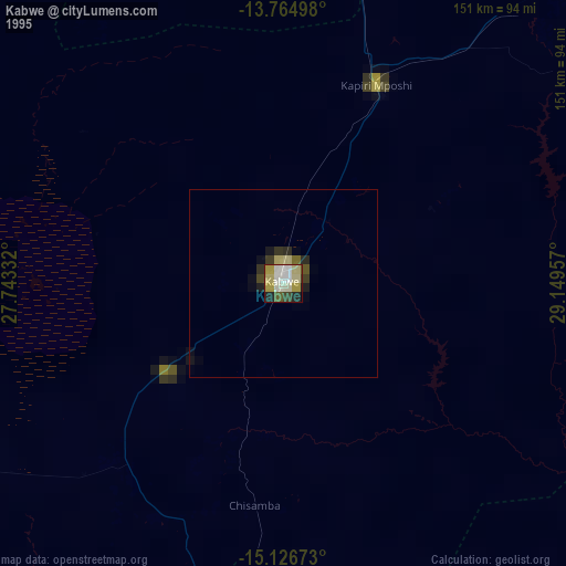
» NASA, Earths city lights 1995
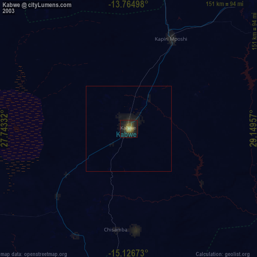
» NASA city lights 2003
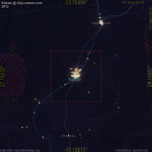
» Earth at Night: Flat Maps 2012, 2016