Namanyere night lights from space
Night Light of Namanyere (Rukwa) from space (Tanzania) Src. Average luminocity for 10x10km area is 0.4069% and for 50x50km: 0.0157%.
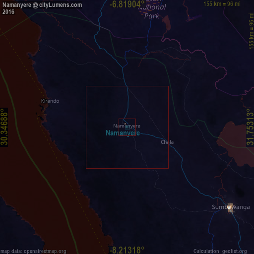

Analysis of Namanyere night lights 2016
Square area 10x10 km:
100  0%
0%
90-99 0%
80-89 0%
70-79 0%
60-69 0%
50-59 0%
40-49 0.87%
30-39 0%
20-29 0%
10-19 0%
0-9 99.13%
0%90-99
0%80-89
0%70-79
0%60-69
0%50-59
0%40-49
0.87%30-39
0%20-29
0%10-19
0%0-9
99.13%Square area 50x50 km:
100 0%
90-99 0%
80-89 0%
70-79 0%
60-69 0%
50-59 0%
40-49 0.03%
30-39 0%
20-29 0%
10-19 0%
0-9 99.97%
0%90-99
0%80-89
0%70-79
0%60-69
0%50-59
0%40-49
0.03%30-39
0%20-29
0%10-19
0%0-9
99.97%Clear (daylight) street map image can be seen on geolist.org.
Map coordinates:
6° 49' 8.5" South, 30° 20' 48.8" East
7° 31' 0" South, 31° 3' 0" East
8° 12' 47.4" South, 31° 45' 11.3" East
Some cities around Namanyere sort by population:
• Sumbawanga
80 km =49.7 mi,  128°
128°
• Mpanda
130.4 km =81 mi,  0°
0°
• Kirando
50.8 km =31.6 mi,  282°
282°
• Matai
101.1 km =62.8 mi,  149°
149°
• Chala
25 km =15.5 mi,  107°
107°
• Usevia
50.5 km =31.4 mi,  23°
23°
• Karema
102.6 km =63.8 mi,  318°
318°
• Nkove
53 km =32.9 mi,  204°
204°
151986 (p: 28,218)
Sources (retrieved 2019-11-25):
» Earth at Night: Flat Maps 2012, 2016