Mungwi night lights from space
Night Light of Mungwi (Northern) from space (Zambia) Src. Average luminocity for 10x10km area is 2.8347% and for 50x50km: 2.1288%.
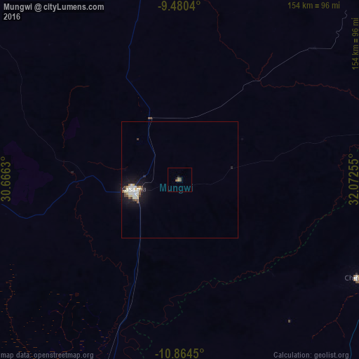
Analysis of Mungwi night lights 2016
Square area 10x10 km:
 0%
0%90-99
0%80-89
0%70-79
0.62%60-69
1.24%50-59
0.62%40-49
1.45%30-39
0.21%20-29
0%10-19
1.65%0-9
94.21%Square area 50x50 km:
0.3%90-99
0.49%80-89
0.31%70-79
0.13%60-69
0.14%50-59
0.26%40-49
0.29%30-39
0.13%20-29
0.17%10-19
2.39%0-9
95.38%Clear (daylight) street map image can be seen on geolist.org.
Map coordinates:
9° 28' 49.4" South, 30° 39' 58.7" East
10° 10' 23.5" South, 31° 22' 9.9" East
10° 51' 52.2" South, 32° 4' 21.2" East
Some cities around Mungwi sort by population:
• Kasama
21.1 km =13.1 mi,  257°
257°
• Tunduma, TZ
181.3 km =112.7 mi,  57°
57°
• Mbala
148.2 km =92.1 mi,  359°
359°
• Chinsali
88 km =54.7 mi,  117°
117°
• Isoka
138.4 km =86 mi,  89°
89°
• Nakonde
176.8 km =109.9 mi, 58°
• Mpulungu
159.4 km =99 mi,  349°
349°
• Luwingu
158.1 km =98.2 mi,  266°
266°
904241 (p: 6,821)
Sources (retrieved 2019-11-25):
» Earth at Night: Flat Maps 2012, 2016