Ritchie night lights from space
Night Light of Ritchie (Northern Cape) from space (South Africa) Src. Average luminocity for 10x10km area is 6.3591% and for 50x50km: 0.5818%.
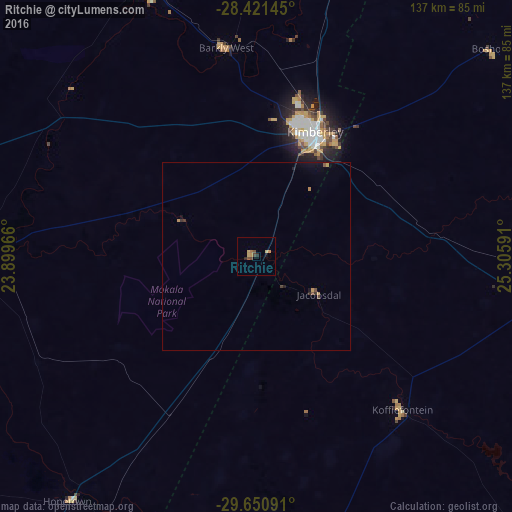
Analysis of Ritchie night lights 2016
Square area 10x10 km:
 0%
0%90-99
0%80-89
1.59%70-79
2.38%60-69
0.79%50-59
1.19%40-49
1.98%30-39
0%20-29
1.59%10-19
0.79%0-9
89.68%Square area 50x50 km:
0%90-99
0%80-89
0.08%70-79
0.17%60-69
0.08%50-59
0.12%40-49
0.15%30-39
0.1%20-29
0.11%10-19
0.26%0-9
98.93%Clear (daylight) street map image can be seen on geolist.org.
Map coordinates:
28° 25' 17.2" South, 23° 53' 58.8" East
29° 2' 16.8" South, 24° 36' 10" East
29° 39' 3.3" South, 25° 18' 21.3" East
Some cities around Ritchie sort by population:
• Bloemfontein
156.8 km =97.4 mi,  93°
93°
• Kimberley
37.4 km =23.2 mi,  24°
24°
• Pampierstad
139.8 km =86.9 mi,  3°
3°
• Warrenton
105.5 km =65.6 mi,  13°
13°
• Christiana
136.4 km =84.8 mi, 23°
• Jan Kempdorp
126 km =78.3 mi, 10°
• Barkly West
56.4 km =35 mi,  351°
351°
• Daniëlskuil
140.3 km =87.2 mi,  312°
312°
961226 (p: 9,960)
Sources (retrieved 2019-11-25):
» Earth at Night: Flat Maps 2012, 2016