Vredenburg night lights from space
Night Light of Vredenburg (Western Cape) from space (South Africa) Src. Average luminocity for 10x10km area is 20.3352% and for 50x50km: 5.497%.
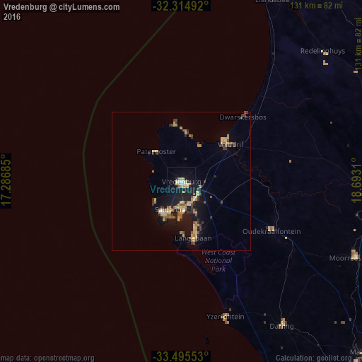
Analysis of Vredenburg night lights 2016
Square area 10x10 km:
 2.01%
2.01%90-99
2.38%80-89
4.21%70-79
4.95%60-69
1.28%50-59
0.92%40-49
0%30-39
0.73%20-29
2.38%10-19
29.67%0-9
51.47%Square area 50x50 km:
0.26%90-99
0.24%80-89
1.27%70-79
0.97%60-69
0.82%50-59
0.69%40-49
0.59%30-39
1.04%20-29
0.85%10-19
5.58%0-9
87.7%Clear (daylight) street map image can be seen on geolist.org.
Map coordinates:
32° 18' 53.7" South, 17° 17' 12.7" East
32° 54' 25.9" South, 17° 59' 23.9" East
33° 29' 43.9" South, 18° 41' 35.2" East
Some cities around Vredenburg sort by population:
• Cape Town
120.2 km =74.7 mi,  160°
160°
• Saldanha
12.4 km =7.7 mi,  200°
200°
• Atlantis
86.5 km =53.7 mi,  147°
147°
• Kraaifontein
124.5 km =77.4 mi, 147°
• Wellington
125.1 km =77.7 mi,  130°
130°
• Malmesbury
92.2 km =57.3 mi, 131°
• Rondebosch
125.8 km =78.2 mi, 158°
• Rosebank
124.9 km =77.6 mi, 158°
3359741 (p: 38,382)
Sources (retrieved 2019-11-25):
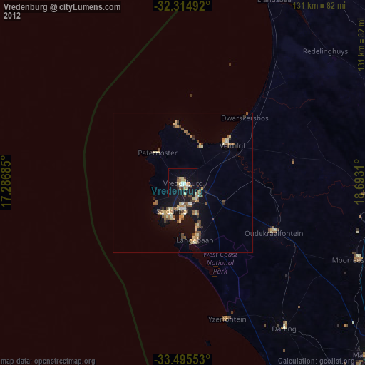
» Earth at Night: Flat Maps 2012, 2016