Vredefort night lights from space
Night Light of Vredefort (Orange Free State) from space (South Africa) Src. Average luminocity for 10x10km area is 7.1389% and for 50x50km: 1.8034%.
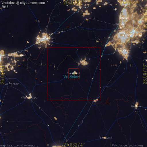
Analysis of Vredefort night lights 2016
Square area 10x10 km:
 0%
0%90-99
0%80-89
0.2%70-79
2.98%60-69
3.17%50-59
0.6%40-49
1.79%30-39
0%20-29
1.59%10-19
0%0-9
89.68%Square area 50x50 km:
0.02%90-99
0.07%80-89
0.11%70-79
0.59%60-69
0.51%50-59
0.15%40-49
0.42%30-39
0.21%20-29
0.17%10-19
1.12%0-9
96.63%Clear (daylight) street map image can be seen on geolist.org.
Map coordinates:
26° 22' 47.5" South, 26° 39' 41.3" East
27° 0' 29" South, 27° 21' 52.6" East
27° 37' 57.9" South, 28° 4' 3.8" East
Some cities around Vredefort sort by population:
• Vanderbijlpark
57.4 km =35.7 mi,  54°
54°
• Potchefstroom
41.7 km =25.9 mi,  320°
320°
• Stilfontein
61.8 km =38.4 mi,  287°
287°
• Sasolburg
49.8 km =30.9 mi,  64°
64°
• Parys
14.8 km =9.2 mi,  38°
38°
• Fochville
59.2 km =36.8 mi,  12°
12°
• Viljoenskroon
46.8 km =29.1 mi,  241°
241°
• Koppies
33.3 km =20.7 mi,  141°
141°
942683 (p: 10,649)
Sources (retrieved 2019-11-25):
» Earth at Night: Flat Maps 2012, 2016