Sasolburg night lights from space
Night Light of Sasolburg (Orange Free State) from space (South Africa) Src. Average luminocity for 10x10km area is 56.7302% and for 50x50km: 20.2865%.
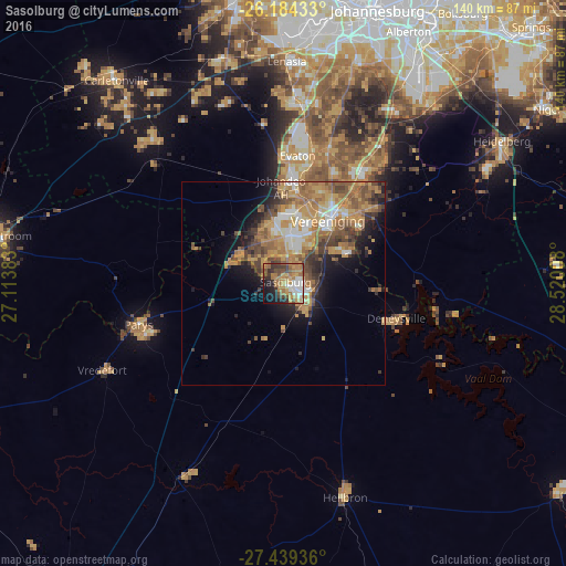
Analysis of Sasolburg night lights 2016
Square area 10x10 km:
 7.34%
7.34%90-99
8.93%80-89
4.56%70-79
14.88%60-69
18.06%50-59
6.15%40-49
9.13%30-39
8.53%20-29
7.34%10-19
11.9%0-9
3.17%Square area 50x50 km:
1.95%90-99
2.45%80-89
1.98%70-79
5.71%60-69
5.03%50-59
3.56%40-49
3.79%30-39
2.8%20-29
3.13%10-19
6.5%0-9
63.09%Clear (daylight) street map image can be seen on geolist.org.
Map coordinates:
26° 11' 3.6" South, 27° 6' 49.8" East
26° 48' 48.9" South, 27° 49' 1" East
27° 26' 21.7" South, 28° 31' 12.3" East
Some cities around Sasolburg sort by population:
• Vereeniging
19 km =11.8 mi,  34°
34°
• Vanderbijlpark
11.5 km =7.1 mi,  10°
10°
• Parys
37 km =23 mi,  254°
254°
• Fochville
48.3 km =30 mi,  318°
318°
• Deneysville
29.1 km =18.1 mi,  107°
107°
• Koppies
53.3 km =33.1 mi,  206°
206°
• Vredefort
49.8 km =30.9 mi,  244°
244°
• Orange Farm
37.1 km =23.1 mi, 7°
957487 (p: 77,016)
Sources (retrieved 2019-11-25):
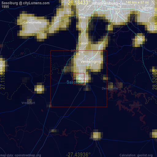
» NASA, Earths city lights 1995
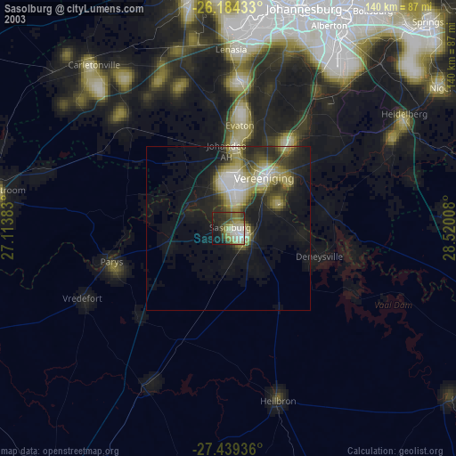
» NASA city lights 2003
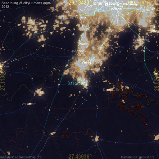
» Earth at Night: Flat Maps 2012, 2016