Koppies night lights from space
Night Light of Koppies (Orange Free State) from space (South Africa) Src. Average luminocity for 10x10km area is 7.3996% and for 50x50km: 0.3828%.
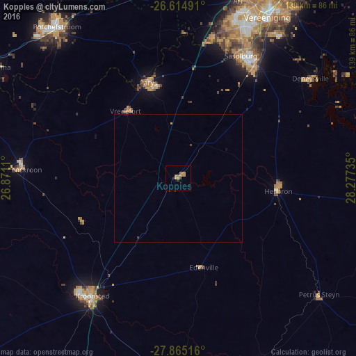
Analysis of Koppies night lights 2016
Square area 10x10 km:
 0%
0%90-99
0%80-89
0.95%70-79
4.36%60-69
1.52%50-59
0.76%40-49
0.76%30-39
0.76%20-29
0.76%10-19
0%0-9
90.15%Square area 50x50 km:
0%90-99
0%80-89
0.04%70-79
0.2%60-69
0.06%50-59
0.03%40-49
0.09%30-39
0.03%20-29
0.06%10-19
0.03%0-9
99.45%Clear (daylight) street map image can be seen on geolist.org.
Map coordinates:
26° 36' 53.7" South, 26° 52' 16" East
27° 14' 30.4" South, 27° 34' 27.2" East
27° 51' 54.6" South, 28° 16' 38.5" East
Some cities around Koppies sort by population:
• Vanderbijlpark
64.5 km =40.1 mi,  23°
23°
• Kroonstad
56.4 km =35 mi,  216°
216°
• Sasolburg
53.3 km =33.1 mi,  26°
26°
• Parys
39.4 km =24.5 mi,  342°
342°
• Heilbron
39.5 km =24.5 mi,  96°
96°
• Viljoenskroon
62 km =38.5 mi,  273°
273°
• Deneysville
64.8 km =40.3 mi,  52°
52°
• Vredefort
33.3 km =20.7 mi,  321°
321°
987875 (p: 11,445)
Sources (retrieved 2019-11-25):
» Earth at Night: Flat Maps 2012, 2016