Fochville night lights from space
Night Light of Fochville (North-West) from space (South Africa) Src. Average luminocity for 10x10km area is 24.358% and for 50x50km: 11.275%.

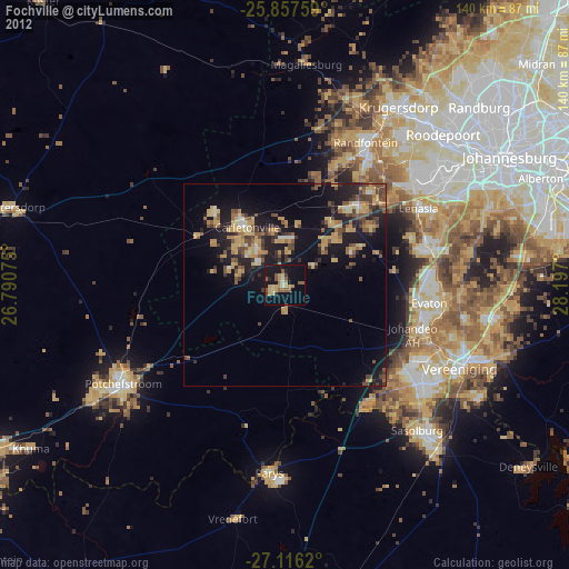
Analysis of Fochville night lights 2016
Square area 10x10 km:
 0.57%
0.57%90-99
0.19%80-89
3.6%70-79
8.14%60-69
6.06%50-59
1.89%40-49
2.65%30-39
1.14%20-29
3.22%10-19
39.39%0-9
33.14%Square area 50x50 km:
0.3%90-99
0.35%80-89
0.95%70-79
3.3%60-69
2.35%50-59
0.93%40-49
2.24%30-39
2.04%20-29
4.38%10-19
11.67%0-9
71.5%Clear (daylight) street map image can be seen on geolist.org.
Map coordinates:
25° 51' 27.3" South, 26° 47' 26.7" East
26° 29' 19" South, 27° 29' 37.9" East
27° 6' 58.3" South, 28° 11' 49.2" East
Some cities around Fochville sort by population:
• Soweto
43.8 km =27.2 mi,  55°
55°
• Vanderbijlpark
42.3 km =26.3 mi,  125°
125°
• Carletonville
17.1 km =10.6 mi,  325°
325°
• Westonaria
24.4 km =15.2 mi,  39°
39°
• Randfontein
39.7 km =24.7 mi,  31°
31°
• Potchefstroom
46.7 km =29 mi,  237°
237°
• Parys
46.3 km =28.8 mi,  184°
184°
• Orange Farm
37.1 km =23.1 mi,  89°
89°
1004109 (p: 62,416)
Sources (retrieved 2019-11-25):
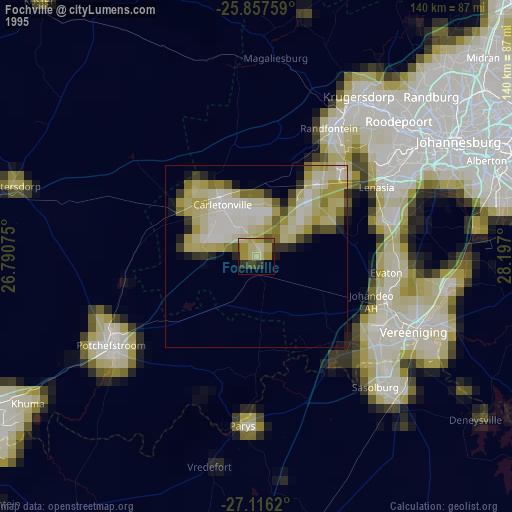
» NASA, Earths city lights 1995
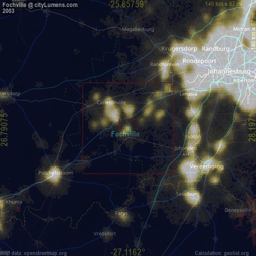
» NASA city lights 2003
» Earth at Night: Flat Maps 2012, 2016