Viljoenskroon night lights from space
Night Light of Viljoenskroon (Orange Free State) from space (South Africa) Src. Average luminocity for 10x10km area is 16.1288% and for 50x50km: 1.2826%.
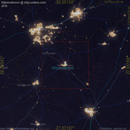
Analysis of Viljoenskroon night lights 2016
Square area 10x10 km:
 0.76%
0.76%90-99
2.08%80-89
1.52%70-79
5.49%60-69
2.27%50-59
1.33%40-49
3.03%30-39
0.95%20-29
2.46%10-19
1.7%0-9
78.41%Square area 50x50 km:
0.06%90-99
0.11%80-89
0.08%70-79
0.3%60-69
0.2%50-59
0.08%40-49
0.32%30-39
0.15%20-29
0.26%10-19
0.74%0-9
97.71%Clear (daylight) street map image can be seen on geolist.org.
Map coordinates:
26° 34' 52.8" South, 26° 14' 43.5" East
27° 12' 30.3" South, 26° 56' 54.8" East
27° 49' 55.1" South, 27° 39' 6" East
Some cities around Viljoenskroon sort by population:
• Klerksdorp
48.5 km =30.1 mi,  324°
324°
• Orkney
37.3 km =23.2 mi,  312°
312°
• Potchefstroom
56.7 km =35.2 mi,  15°
15°
• Kroonstad
56.7 km =35.2 mi,  150°
150°
• Stilfontein
44.2 km =27.5 mi,  336°
336°
• Bothaville
38.4 km =23.9 mi,  238°
238°
• Parys
60.7 km =37.7 mi,  56°
56°
• Vredefort
46.8 km =29.1 mi, 61°
943960 (p: 54,955)
Sources (retrieved 2019-11-25):
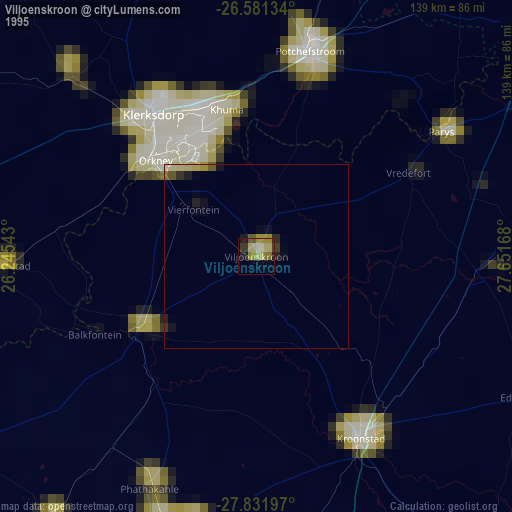
» NASA, Earths city lights 1995
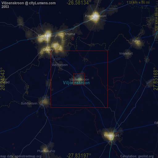
» NASA city lights 2003
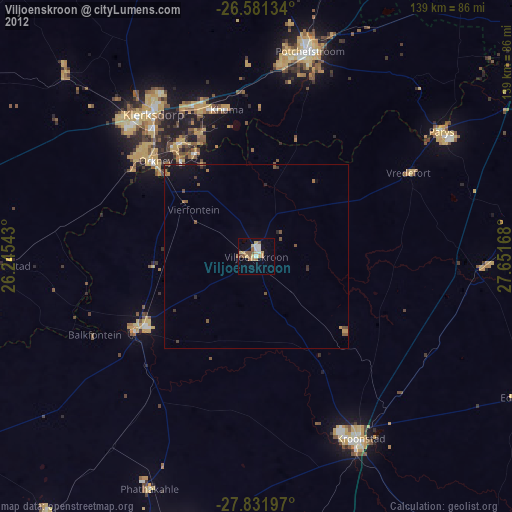
» Earth at Night: Flat Maps 2012, 2016